(GPS: N 37 56.225 W 119 15.600)
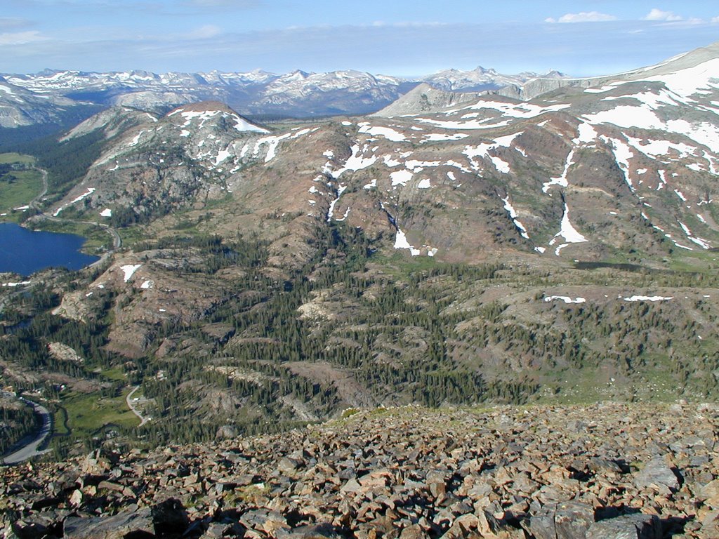
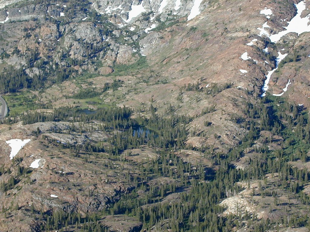
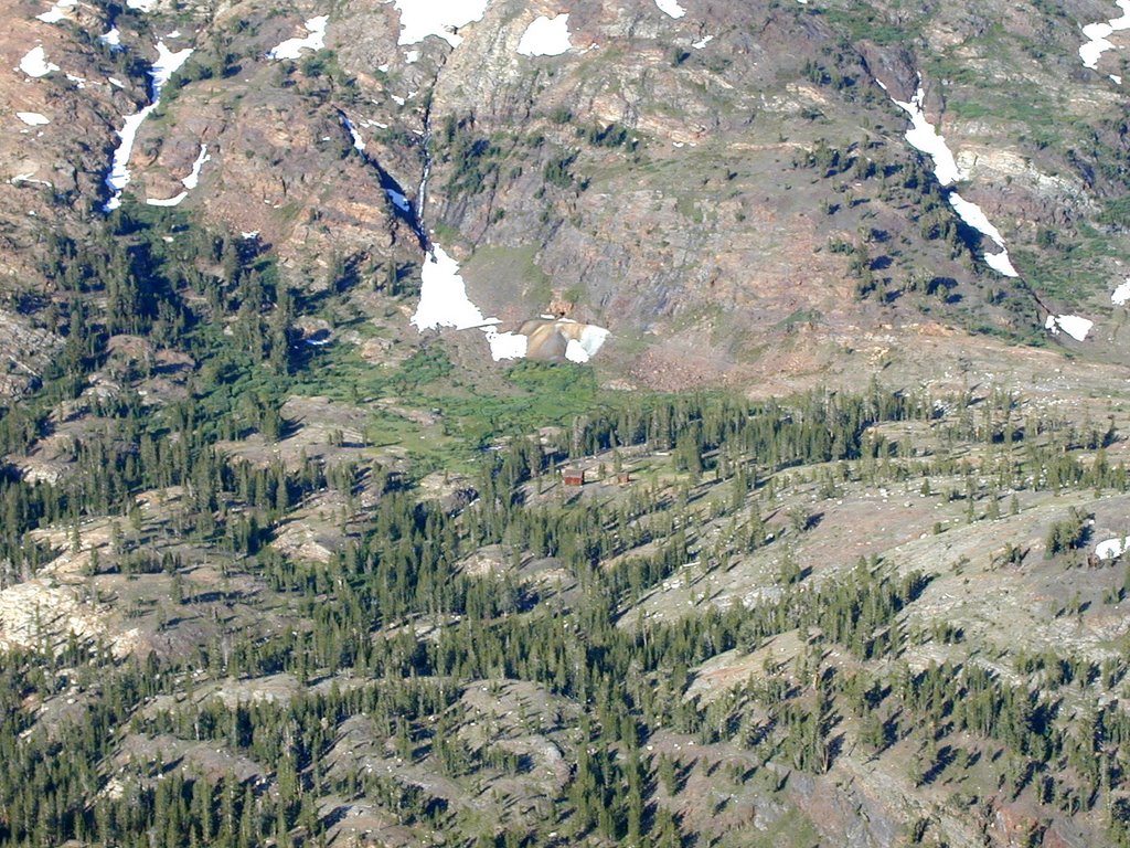
One of the interesting areas that I have been at twice is the "ghost town" of Bennettville near Tioga Lake. It was an unsuccessful mining area that had big ideas, but was more trouble than it was worth. It is an easy hike in and out. The first few pictures are from Tioga Peak looking down into it so you can see it from different elevations:
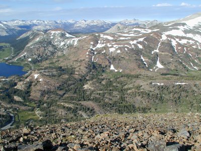
The picture above shows you where you start down below near Tioga Lake and continue to the right of the picture.
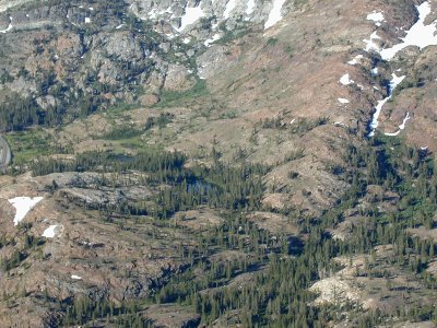
The lake you see below is really a small pond you pass on the way there. Then in the picture below you end up at Bennettville which only has two major structures left as you can see below if you look carefully:

Here is how it looks looking back up:

The mine.

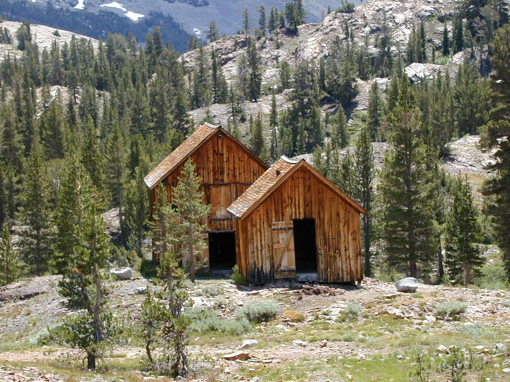
The two major structures. These look like big barns when you enter them.

Here is the other side of one of them:

Next time I will show the scenery a little further beyond at Fantail Lake which was more interesting to me than this little ghost town.
 Fantail Lake is a average sized lake for a back-country type of hike. It has a bunch of marshy areas and one area that looks like an island in the lake.
 Here is how it looks as we hiked to it:
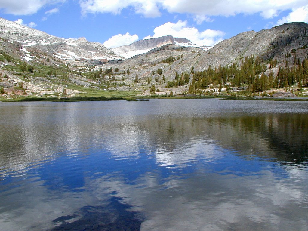 What is great about this area is you can see a TOWERING Mt. Dana in the background.