Main Points:
1)I will continue being "on hiatus" as I pursue other things to blog about.2)I continue my usual yearly criticism of social media, and why it is continuing to make people stupid.

It has been almost twenty years since I started doing this blog. At the beginning I was trying to upload pictures and tell stories about once a week. I did that for several years, and then in 2011 I revealed that would be the last year of me doing that. Since then I have had about an average of twelve blogs per year of things I had done over the previous summer.
 Again, social media is continuing to be a thorn in my side. I use it because I feel I have to in order to keep up with current issues in the world. However, I feel sometimes that it is making me more stupid. Over the years on this blog (most of the past beginning blogs of year in January) I have had some sort of criticism of it.
In some ways it is good because you can get almost instant information on something like X (Twitter). I have figured out some local information quicker than watching the news on tv, radio, or on other search sites. On the other hand, you can get a lot of bad information that takes a few days to uncover the truth to. This is why it is always a good idea to wait a day or two before you accept something as truth to see if it gets debunked or not.
I wish all articles would start like I started this one with the main points then go into a further explanation. It helps people understand where you are going. However, the world of social media can not allow that sort of thing because it is the quest to keep you sucked in. Otherwise, you will go on to something else. Keep people stupid!
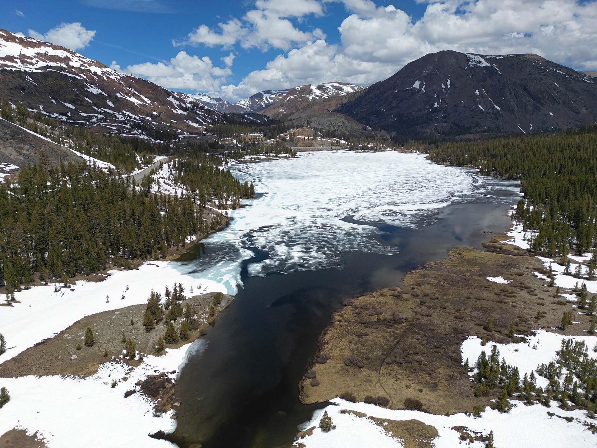
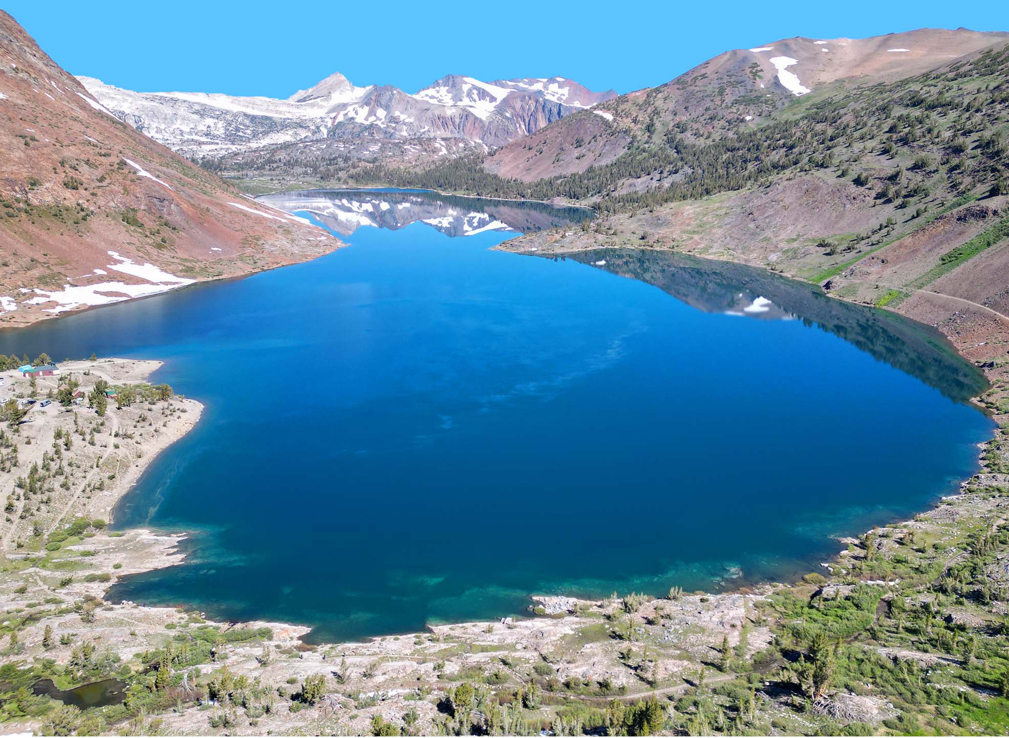
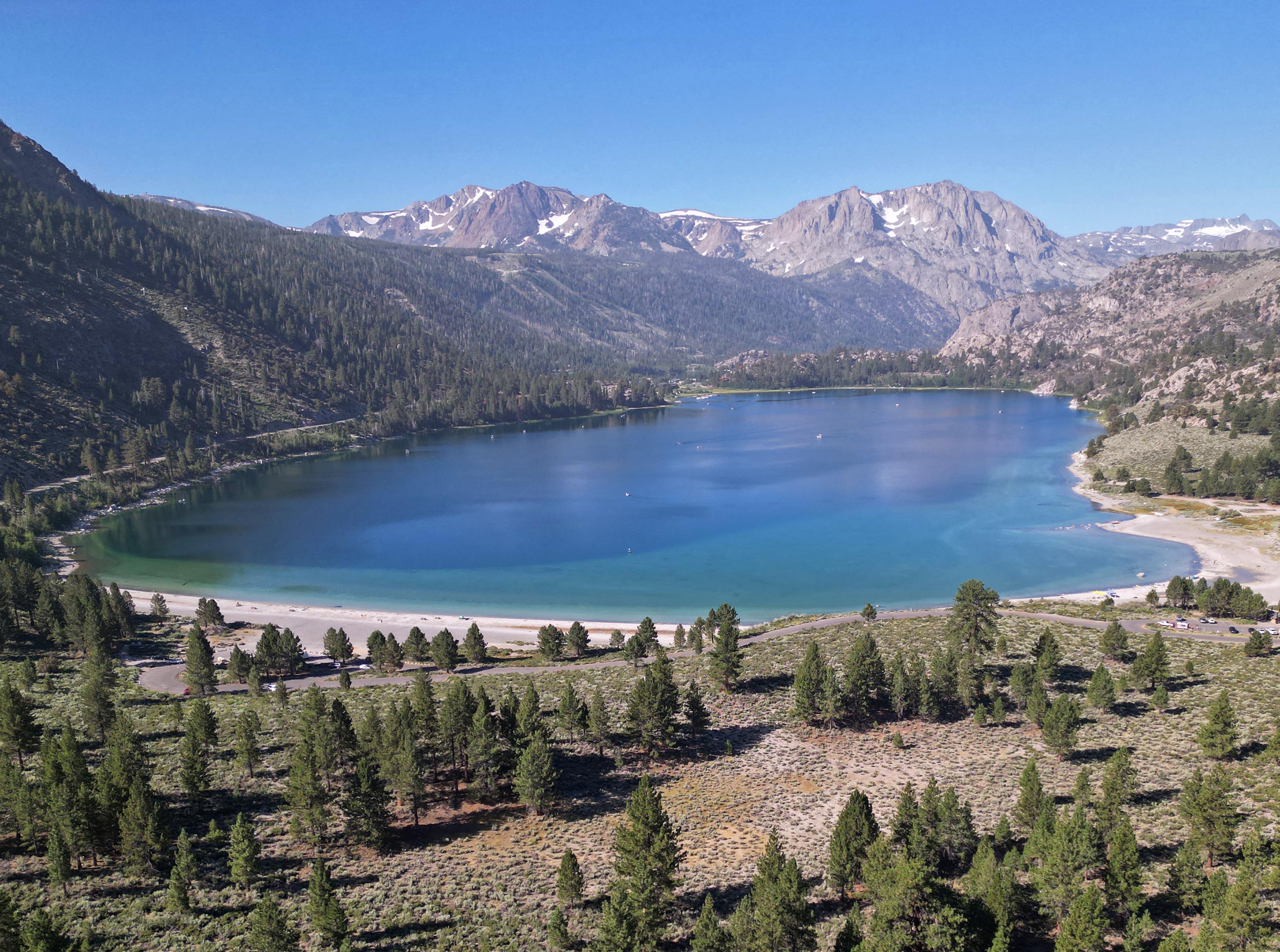
Before I begin I will insert a couple of pictures of my drone flight of Ellery Lake last year. It was another drone flight I did right after I flew around the mostly iced over Tioga Lake last spring.

It has been almost twenty years since I started doing this blog. At the beginning I was trying to upload pictures and tell stories about once a week. I did that for several years, and then in 2011 I revealed that would be the last year of me doing that. Since then I have had about an average of twelve blogs per year of things I had done over the previous summer.
In the future, if I find something I really think is fun or unique I will upload pictures, or blog about it. Yeah, I did a bunch of new stuff last summer, but I decided I wanted to wait on uploading it...If I ever do. I am just not as inspired doing that right now.
There are other projects that I am working toward. I started the beginning of them last year. They are not things I can do as quickly and will take time. So, if I do not blog for the next year, five years, etc. that is the reason. These projects are more important and long term for me.

In some ways it is good because you can get almost instant information on something like X (Twitter). I have figured out some local information quicker than watching the news on tv, radio, or on other search sites. On the other hand, you can get a lot of bad information that takes a few days to uncover the truth to. This is why it is always a good idea to wait a day or two before you accept something as truth to see if it gets debunked or not.
Here is my main criticism this year of a lot of news sites or other social media sites that have articles. Typically, you see an article with an interesting title. You want to know more about what the title is talking about. You click it. You start reading the article. The next thing you know the article is all over the place, and you wonder what the whole point of the article is. You have not gotten the answer to the question the title of the article brought up.
Usually, I start scanning the article very quickly after I click it like trying to "find Waldo" if you know of those types of kid books. Welcome to the world of news articles that try to milk the algorithm to keep you unintentionally clicking ads and getting information about you. It is not about getting information to you, it is about stealing your time and keeping you online for their purposes. I would not be surprised if a lot of these articles are written by A.I. I know some of the comments I see to them are scams or A.I.
I wish all articles would start like I started this one with the main points then go into a further explanation. It helps people understand where you are going. However, the world of social media can not allow that sort of thing because it is the quest to keep you sucked in. Otherwise, you will go on to something else. Keep people stupid!

I will leave you with this. I recently encountered this article with an interesting title. One of these days I might read this in full and find out what the point of it is: clicker beware!