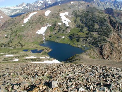
(GPS: N37 56.938 W119 14.760)
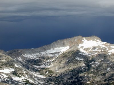
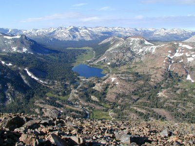
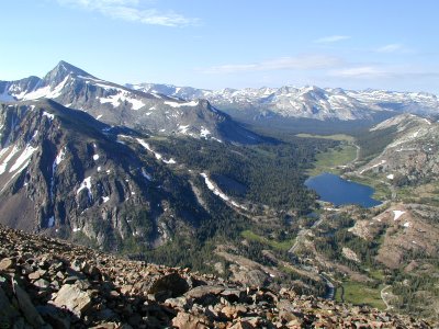
Looking at the northern side has good scenery too. The picture below is still looking west past Tioga Lake. You can see a lot of the high points of Yosemite. As we work our way to the right side north of Tioga Lake we pass by the ghost town of Bennettville. I am going to skip talking about that area for now and leave that for the next entry since I went there a few hours later that day. 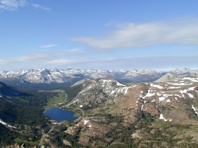 The main high point is Conness Peak in the middle of the picture. North Peak is to the right of that and Saddlebag lake is to the middle right of the picture. Later that morning I went to Saddlebag in order to find the trail head to get to Conness. I eventually decided that this was not the year for that hike due to my right foot being a problem. At the very tip of Conness you can see how it is a shadow. This is due to the clouds starting to get darker and covering the area at the time. It still was not too bad when I was up there. That would change on the way down.
 The main high point is Conness Peak in the middle of the picture. North Peak is to the right of that and Saddlebag lake is to the middle right of the picture. Later that morning I went to Saddlebag in order to find the trail head to get to Conness. I eventually decided that this was not the year for that hike due to my right foot being a problem. At the very tip of Conness you can see how it is a shadow. This is due to the clouds starting to get darker and covering the area at the time. It still was not too bad when I was up there. That would change on the way down.
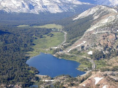
 This is below Conness and it is interesting because you can see a small little house in the picture. It is the Carnegie Institute that was used for science in the past. I have read about it, but never been to it.
 I spent about an hour at the top of Tioga Peak. I did not think it was going to be as scenic as it was so I ended up spending a lot of time taking pictures and using my camcorder. However, one thing I know of in the area around Conness is that the weather can take a dramatic turn. The clouds started to get darker. I decided I had better start moving down to avoid being a victim of lighting strikes.
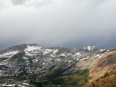 While I was going down it really never rained very hard. Just enough sprinkling to make me want to continue down at a good pace. I was expecting it to come down at some point.
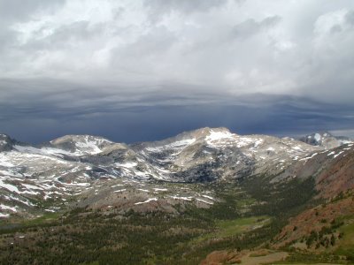 Darker and Darker. When I eventually got down and drove to Saddlebag lake a mile or so up the road it did come down pretty good with hail for a few minutes. It was not a long shower that morning. I went to Bennettville and made the short hike with it being overcast. Still the time coming down from the peak made for some dramatic gray pictures.