(GPS: N34 16.990 W117 44.810)
Okay, the above gps cords are for where we ended up at the bridge.
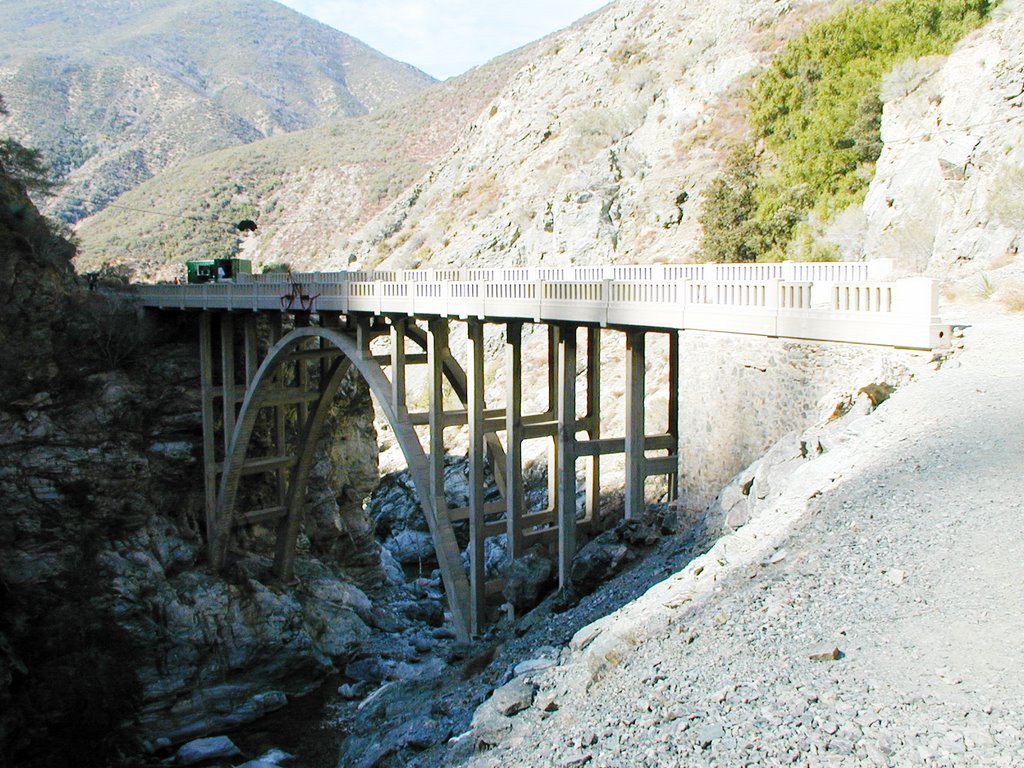
There was not much room around here, but I was safe. Again this is looking down from the “Nowhere” side.
 Both of these are looking more from the northern side.
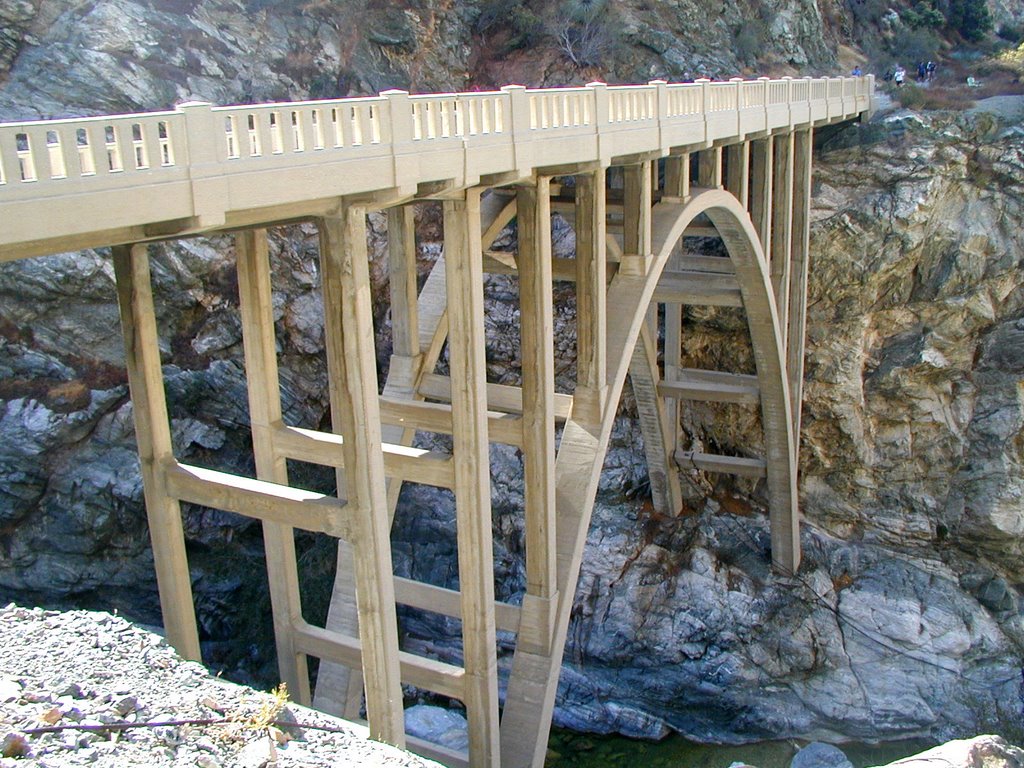 Looking at the “Nowhere” side.
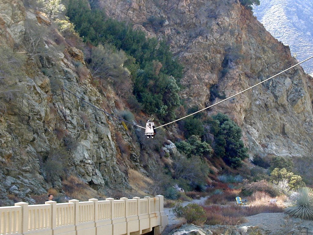
 This is the mysterious cable car thing overhead that goes over the bridge.
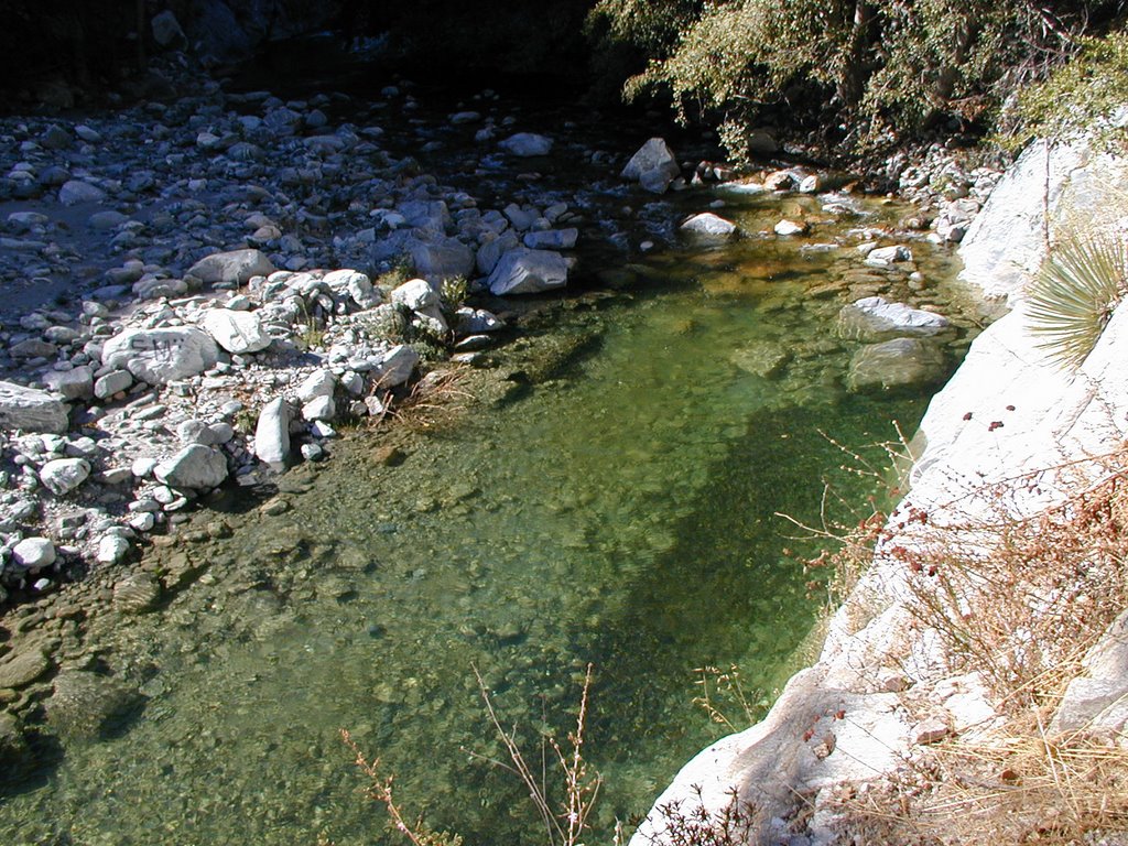
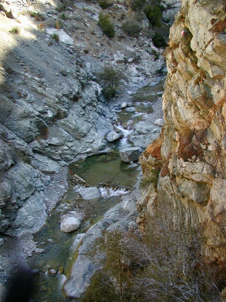
 Looking down into the pool.
 Looking back to the bridge from the southern side of "nowhere".
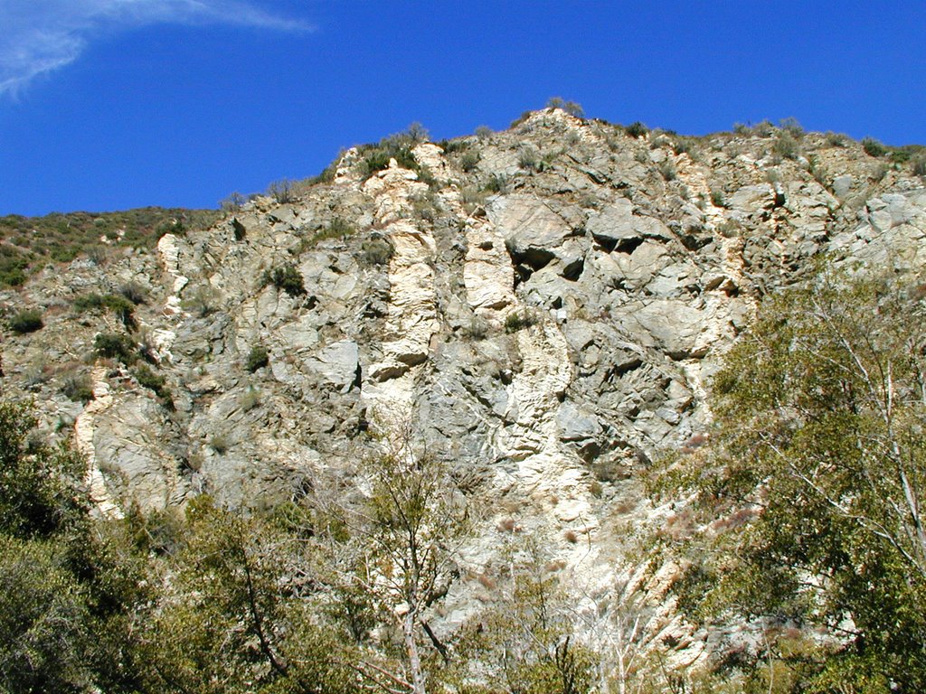
 The following is just past the bridge into the “Nowhere” side. I followed the trail up a few hundred feet. It came to a point that was steep, but slippery. So, I could have forced the issue to continue, but I had all my camera gear out and did not want to risk things coming down. So, this is really as far as I got. Basically, you can go up further up the canyon to the left. Some backpackers continued on this way.
 This is another angle looking down from the bridge. I took this as we were leaving.
 Early on I was sort of complaining about the pack of hikers that were slower. Well, they really weren’t a problem. They just were bungee jumpers who were not your typical hikers so they were rather slow at times. They started before us and we passed them. At one point we went up a little too high and had to back track. They were there so we had to pass them again. We saw some while we were heading back as they continued to reach the bridge.
 People actually come to the bridge to bungee jump. We wanted to see them do it, but we had already been there almost an hour, and they were still slow setting up. One thing that I encountered here on the way back was people constantly asking me how many miles it would take to get to the end. You could tell many people do not get out walking or hike much. I have never encountered this on any of my other hikes. In fact, some big guys at the trail-head were trying to convince my brother that it was, “a lot harder and further than you thought it was, right?”
He said he was just being agreeable to be polite, but I would have to agree that this hike was really not that hard. We were in an out in about 4 hours. We could have done it quicker too. The only problems are you have to cross water a lot, walk on stones and sand. It is nothing compared to everything else I have written about.
Just as a follow up to my first entry. Here is the video that “Cassie” used to show her dead drop at the Bridge. It looks like it was just across the bridge in a bunch of rocks. In fact, I was standing right near where he shot the last part of this video.
http://www.youtube.com/watch?v=zaa5wqXszZM
Had there not been as many people on this hike I think the creepiness factor would have been "higher" walking around in this area. People were out fishing and prospecting(!) along the river. Funny, we never saw any fish. Still a well made bridge out in the middle of nowhere is just strange! Well, this ends my Halloween series. Happy Halloween!


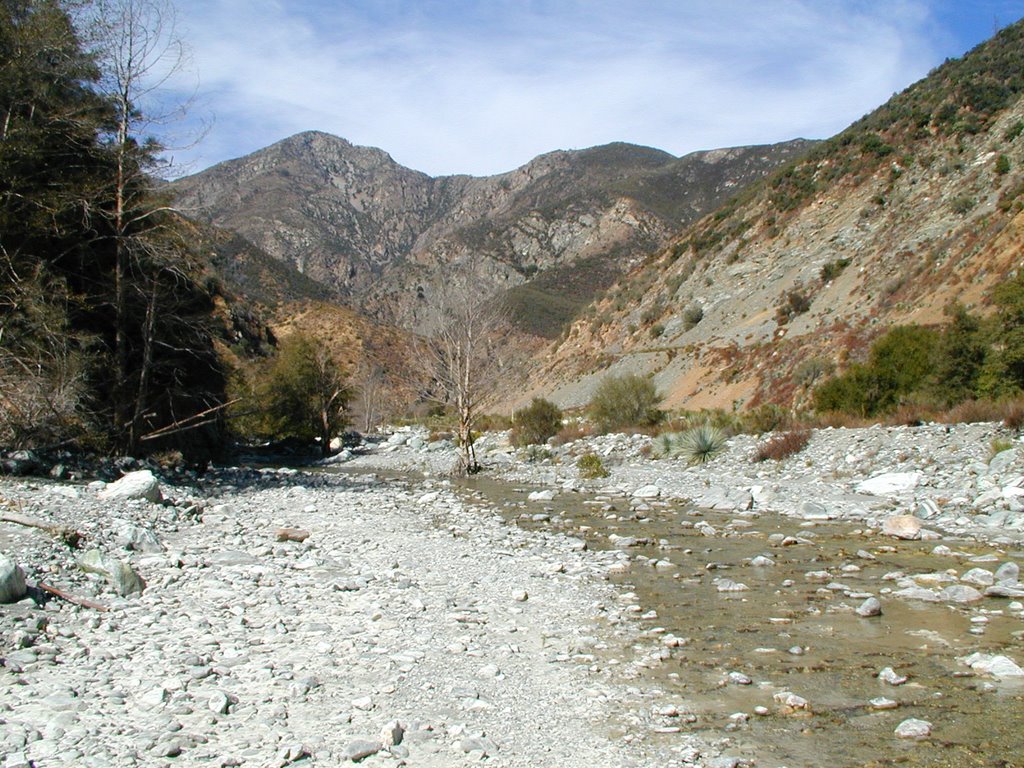
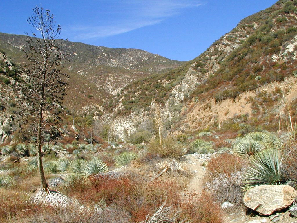
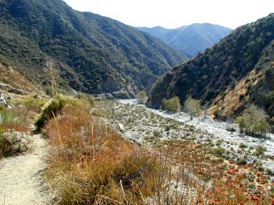 Okay, we finally made it in about 2 hours which is pretty good time. Normally it is supposed to take somewhere from 3 ½ to 4 hours to get there, but I suspect the people that do that are trying to avoid getting wet and are not people that hike high elevations very much. The difference in this hike is it is just crossing the river about 10 times and walking on sand and rocks for about 5 miles. Here is what we came to see after we crossed it to the “Nowhere” side: