Showing posts with label Harding Canyon Falls. Show all posts

Sunday, September 12, 2010

Harding Canyon Falls

(GPS: N33 43.520 W117 35.140)

The previous two blog entries show some of the hike getting to this point. This was the main reward getting here. Here is what these falls look like:
I went underneath them as close as possible.
The interesting thing is there is a rope there you can climb up to get above the falls. I do not know how long that rope has been there, but I made sure to NOT depend on it going up. I made sure I had solid footing and grips as I used it. I should point out someone did die somewhere out here some years back which I will link to here.
This is looking back down from above.
One can go up higher beyond the falls and it does become a flat stream again. Here is the way:
I did go a little further, but decided to turn around since this was really all I was after. It really was a long ways back here and I really wanted to make sure I started heading back for the long way out.


So, this was an interesting Orange County, CA back country hike. I would not say it is the most beautiful terrain one could encounter compared to some of the other areas I commonly post about. The colors are not that dramatic. However, considering this is not too far from the big city this was a nice hike to just get away and see something that is not too common in this area. I never saw another person while I was back here until I was at the very beginning of where I started this hike.

Saturday, September 11, 2010

Much Further into Harding Canyon

In the last blog I showed you that this one starts out with wide terrain, but after some distance it gets a little more compact. It was not as bad as the previous Jungle Adventure #1 where I usually had only one option to continue. On this one if I did not like what I saw then I had a few other options. Usually, I could stay out of the water, but not always.
As I mentioned last time, the stream did get a lot faster here. The sound of the stream was much louder because of it.
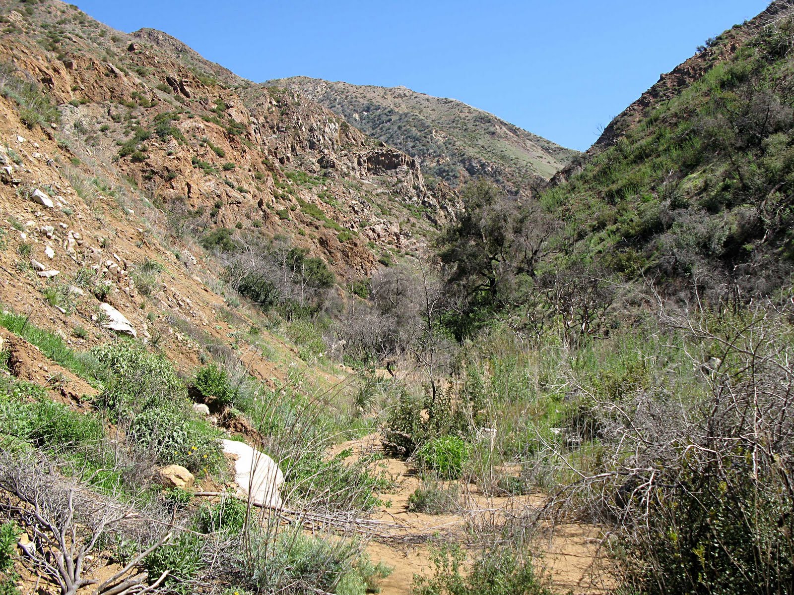
One thing about this hike compared to Jungle Aventure #1 is that although there is very little elevation gain, nor is it as compact, but it is a lot longer! It is about four miles to get to the falls. Although I could go a little faster than the week before, it was still at a slow pace due to the terrain. At about the half-way point, maybe a little more, the area opened up some so I could see some of the canyon sides.
It then went back to a more closed in hike walking with the stream, across boulders, and through the stream.
As I went along there were some interesting small waterfalls to look at.
In the next blog I will cover where I ended at the falls. I will go ahead and post the links to the video that cover the hike:

Wednesday, September 08, 2010

The Buried Tree (The Beginning of Harding Canyon)

(GPS: N33 42.915 W117 37.250)

In this blog I thought I would start my hike into Harding Canyon, which I refer to as Jungle Adventure #2. The previous week I did the 1st Jungle Adventure. After that I thought I would do this one so here I was again in the Santa Ana Mountains.

After driving into Modjeska Canyon and parking at Tucker Wildlife Sanctuary I was up and over the short elevation gain. Before I continued I looked back at Flores Peak. It turns out that mound of land is a Calfornia Historical Landmark (No. 225). Juan Flores and his gang fled to this peak after killing Sheriff Barton in the 1850's. The posse found him here, but Flores escaped. The biggest manhunt of that time was after him, and he was eventually captured at Santa Susanna Pass (near Corriganville).

Sometime in the future I may visit all the areas involved in that manhunt. It turns out one of them, Robber's Roost in Anaheim Hills, CA, I have been on before a few times, but it recently became restricted to the public since some idiots decided to leave their trash and graffitti there.

Not too far into the hike I came across this tree. I just wonder how far this tree goes down under the ground.
I had been here a few years before this, but do not recall this tree being like this. About three years ago there was a fire in this area that kept the public out for about a year. My guess is that a lot of sediments have built up around here.
There is very little trail on this one. Basically, I walked beside the stream, crossed over it at times, crossed over boulders, and bushwacked when I had to. In the picture below this is right before the area of hiking starts to get a little more compact. It is a lot more covered by trees and the canyon walls. The stream is not very big, but here is looks really small.
The stream does get bigger and moves a lot faster. After hiking a while I moved past these rocks to see something that blended in down below. It looked like a small piece of mud.
Wait a second, let me take a closer look!

I will continue this in the next blog or two. I have the video done for the main hike, but what I decided to do is just show what I am calling the "preview" video at this point. This is footage I wanted to include on the main video, but decided against it since it slows the pace of the video down and makes it a little too long. It shows the tree and some alternative footage, so take it for what it is:

The Buried Tree (Youtube Version)