(GPS: N 38° 07.405 W 119° 28.056)
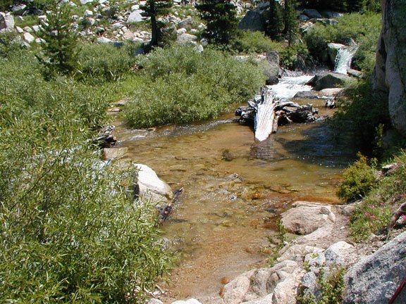
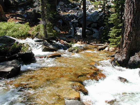
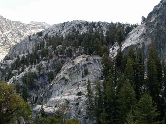
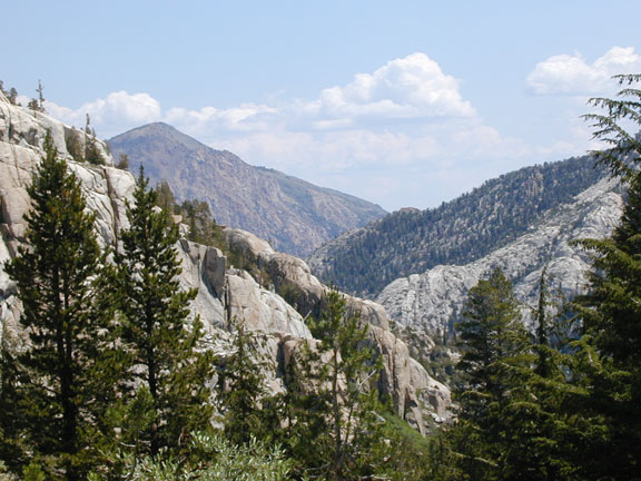
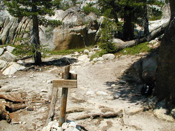
Okay, this is close to Peeler Lake. The trail is pretty easy to follow although there were a few points I was not sure about, but I used good judgment; nothing too complicated here. You really do feel like you are out in the wilderness, but there is a lot of “closed” in type of walls like this you go by.

Funny thing is I expected to not see many people on this trip. I saw one person on the way up coming down from his trip from the Virginia Lakes area. He was trying to convince me to go to Crown Lake. Saw a young couple at Peeler, but there were about a total of twenty people coming up as I went back down. More than I expected being that far out. Most people were going to spend the night coming up in the afternoon. I just went early in the morning so I could be back by the afternoon.
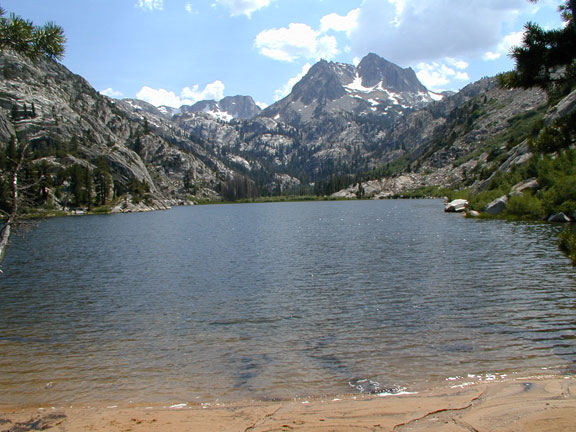
 I finally reached Peeler. I was happy to finally make it. It took me about four hours, but I think I could have done it quicker. You can see some snow on the left. I did encounter some snow below in the picture above, but it was pretty easily traversed. Although, one should always has to be careful of surprises when dealing with snow; one step and you can sink below or slide fifty feet down.
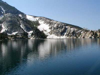
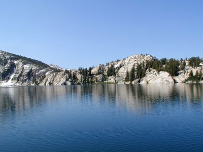
 At the beginning, the lake looked really murky at the shoreline, but as I went around it was very beautiful. It was a very clear and reflective lake. No wind, but a bunch of mosquitoes were out.
 The shoreline is interesting in that you still feel like you are walking on a major hiking trail around. I felt like it would drop off at some points in the lake if you are not careful.
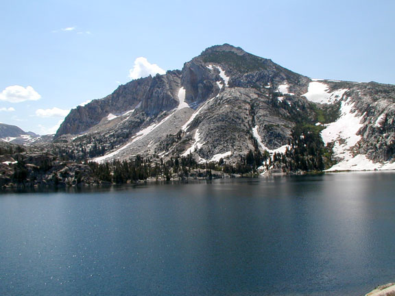
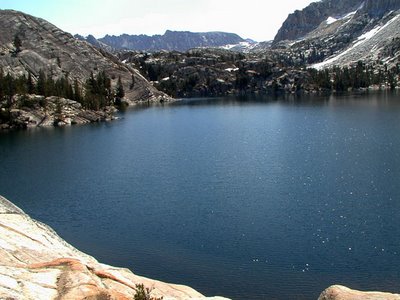 I believe that is Matterhorn Peak in the background. I had been to the Matterhorn before looking this way. I intend to do a write up of that adventure showing the picture looking down this way at a later time.
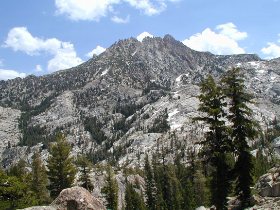
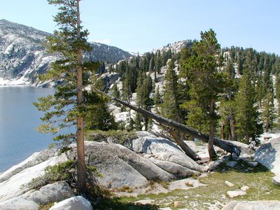 It looks like a rocket ready to launch. Although I did not continue it, the border to Yosemite is not too much further. I regret not going a bit further to see the border, but I am sure I will do it again eventually. The lake looks like a good fun fishing lake. Nothing big, but worth fishing in if you were back here compared to all of the other lakes in the area. I enjoyed it, but a week later I would have an even more awesome and interesting hike than this which I will have to detail at a later time.
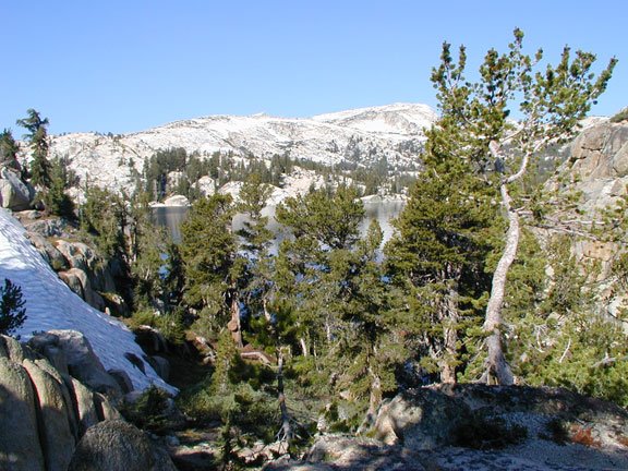 I finally reached Peeler. I was happy to finally make it. It took me about four hours, but I think I could have done it quicker. You can see some snow on the left. I did encounter some snow below in the picture above, but it was pretty easily traversed. Although, one should always has to be careful of surprises when dealing with snow; one step and you can sink below or slide fifty feet down.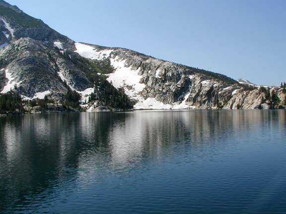

 At the beginning, the lake looked really murky at the shoreline, but as I went around it was very beautiful. It was a very clear and reflective lake. No wind, but a bunch of mosquitoes were out.
 The shoreline is interesting in that you still feel like you are walking on a major hiking trail around. I felt like it would drop off at some points in the lake if you are not careful.
 I believe that is Matterhorn Peak in the background. I had been to the Matterhorn before looking this way. I intend to do a write up of that adventure showing the picture looking down this way at a later time.
 It looks like a rocket ready to launch. Although I did not continue it, the border to Yosemite is not too much further. I regret not going a bit further to see the border, but I am sure I will do it again eventually. The lake looks like a good fun fishing lake. Nothing big, but worth fishing in if you were back here compared to all of the other lakes in the area. I enjoyed it, but a week later I would have an even more awesome and interesting hike than this which I will have to detail at a later time.