(GPS: N 36 34.497, W 118 15.032)
note: the above cords are for the Lone Pine Lake sign turnoff.
note: the above cords are for the Lone Pine Lake sign turnoff.
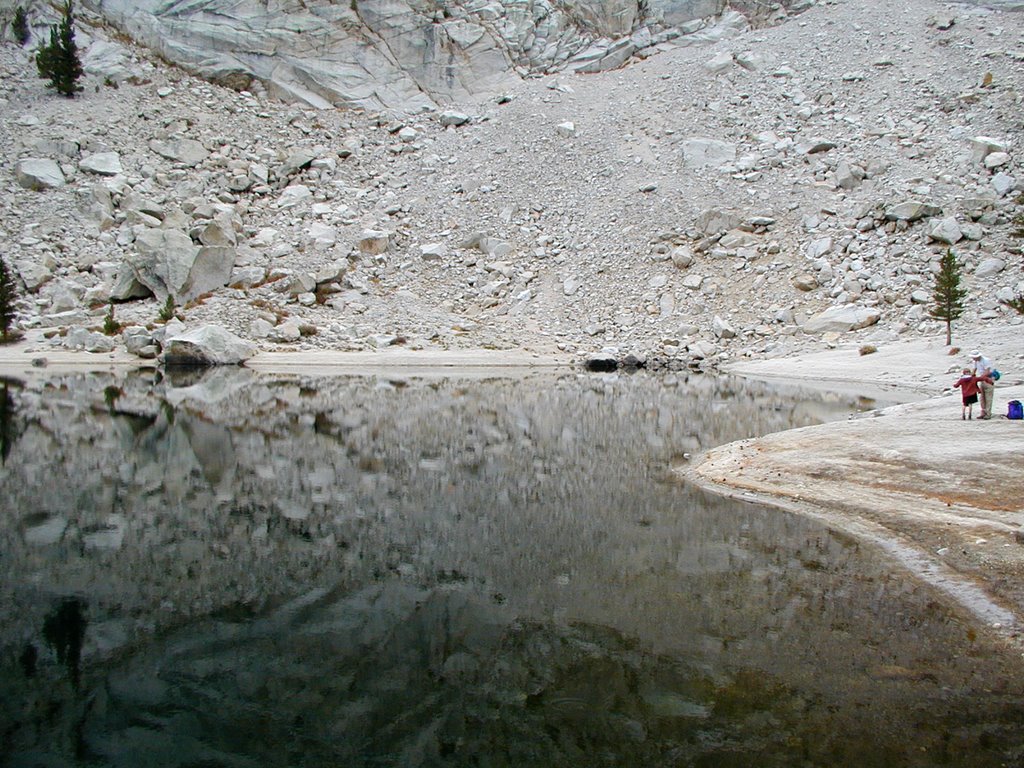
The lake was not that big, but the mountain walls reflections made the lake look very epic. The gray clouds in the area took the color out of many things, but the lake was dead quiet and still. The reflections were awesome:
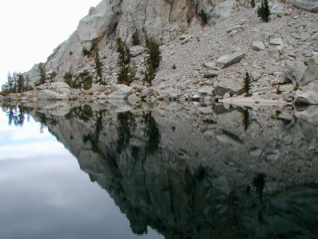 More reflection as I continued around the lake.
 The following will give you an idea of what it was like looking further into the canyon. I passed a few hikers on the way up and I could tell they intended to go further up. I do not know how they all did, but it did snow at the lake while I was there. The snow did not seem that significant at the time. It was just little salt like specs coming down.
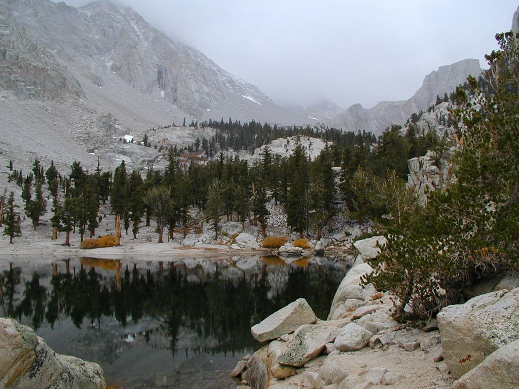 I spent around just under an hour at the lake taking pictures and drinking my water. I wanted to be back in Lone Pine at 4pm to watch a special independent movie so I started going down the trail. I took a shot looking down to show what the elevation was like. At this point the snow started coming down a little more and was collecting on the trail. I was trying to speed my way down the switchbacks. Some hikers held me up a bit since I could not pass them right away.
 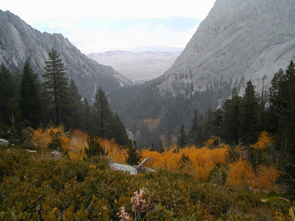 By the time I got back to the truck it was about 10 minutes to 4pm. I really did not want to high tail down the road to get to Lone Pine for the independent movie. I would have missed some of it anyways. So, I just took my time around the Portal and slowly left. I had one last area I wanted to investigate before I left, reached the 395 highway, and left for good. That will be my final entry on this area.