(N 37 59.970 W 119 14.950)
Happy Easter and April Fools Day! Which is kind of a weird thing to have together. I was going to call this blog, "Investigating the remains of May Lundy," but then I might get responses like, "What happened to her? I didn't even know she was sick?" Then the joke would be on me. In any case, this is the first blog of the year, so let's get to it:
Last July my brother and I went back to the May Lundy mining settlement in Lake Canyon. We had done this before some eight years back, but I never blogged about it on here. I hinted at it in another blog entry, but never came through with any blog entry about it. So, after last summer with new pictures and updated video clips, here we go...
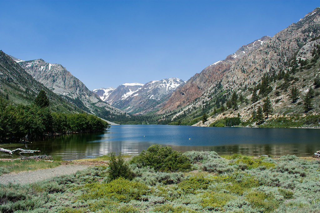
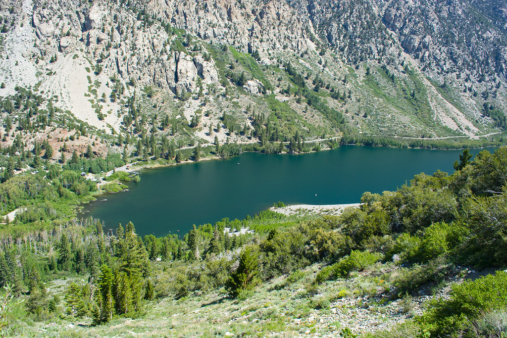
We started out at Lundy Lake. On the other side of the lake, back in that canyon is where I like to go for fall colors in October. I've shown that on here before. This time we will headed to the left side of this picture and up.
Looking back down you can see how far the trail takes you. Actually, this is an old mining road that one can imagine small wagons, horses, and equipment being brought up this trail.
Turning around (doing a 180) from this picture, we headed up and back into the canyon. Much of the trail at this point was walking through water and ice. Many parts of the trail seemed like walking in a stream due to the melted ice. 2017 was a good year for snowfall.
Along the road we started to see traces of human artifacts. There are many along the way. Eventually, we encountered two vats along with some walls. Then I caught up with my brother at an overlook of the remains of the mining settlement. This is very close to where the GPS coordinates above will get you.
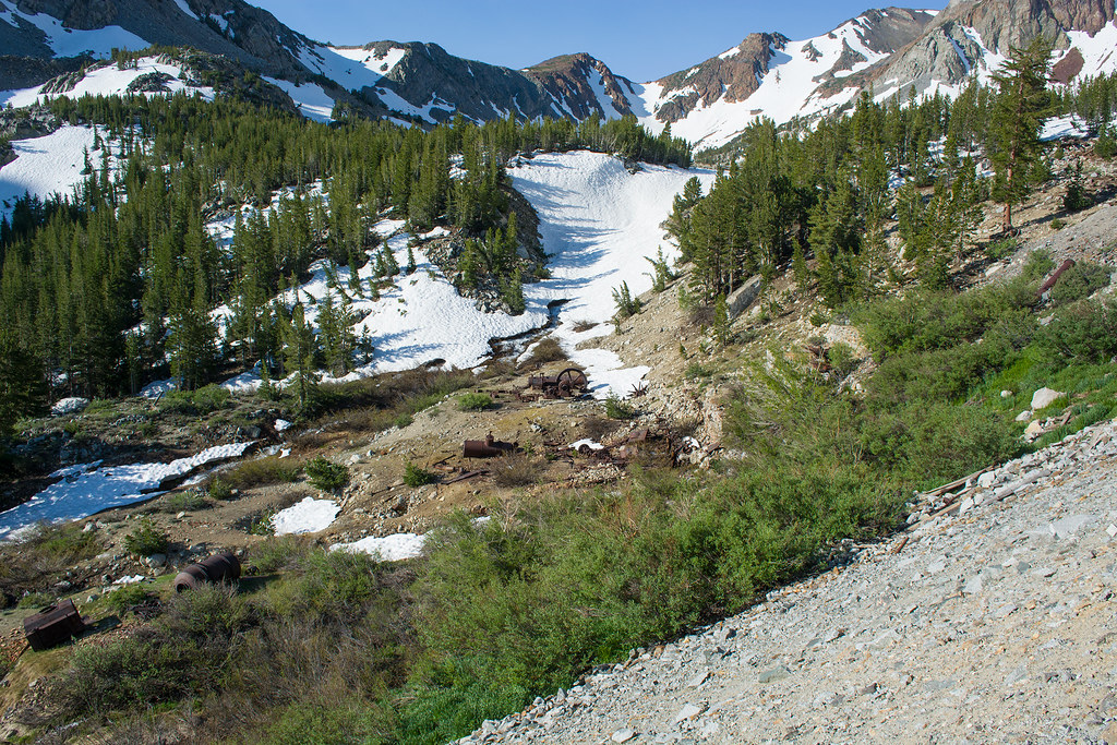 Below is where we spent most of our time. You can see a bunch of the mining equipment remains down below. This was where the May Lundy Mill was at. To the right and looking up the mountainside is this:
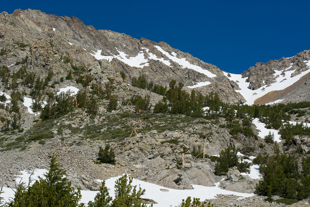
The May Lundy mine is up there. If you look closely in that picture you can see the frames that were part of the tramway that would come down the slope to the mill.
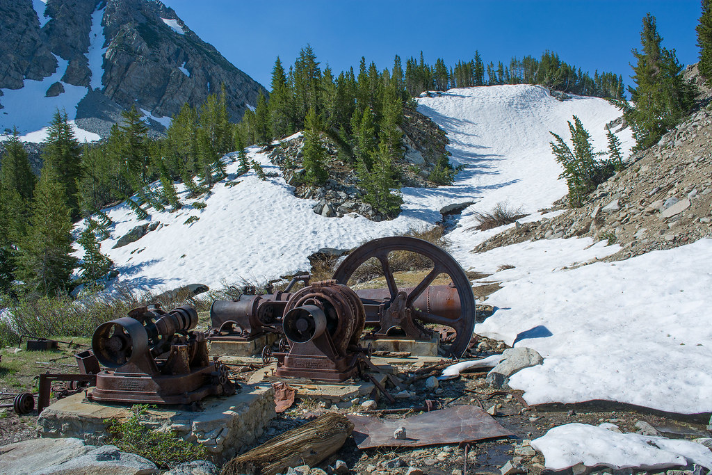
You can see some of the mining machinery here. Basically, this area was mined from 1880-1914 with a few revivals going into the early 1940's.
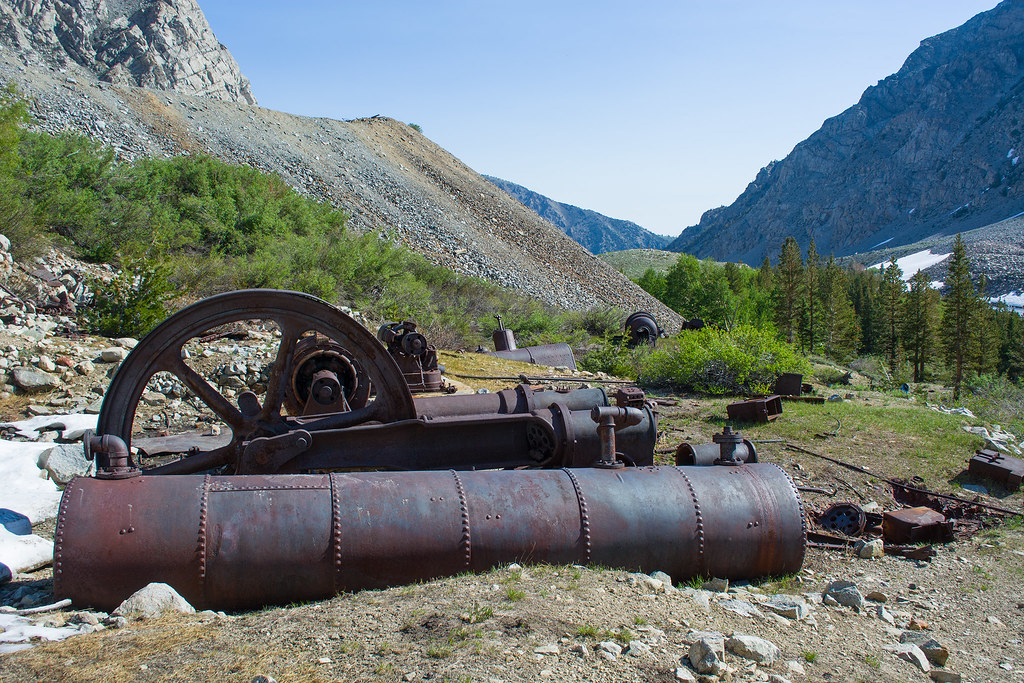
And more. To keep this blog short, I will link to my the rest of the pictures I uploaded on Flickr down below to show the rest of the machinery as well as some of the remaining buildings. The Youtube video will be linked too that shows more as well.
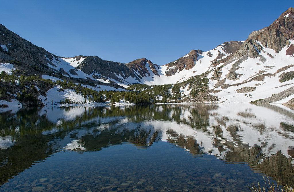
After we finished looking around we visited Oneida Lake a little further in the canyon. We then turned around, spent a little more time looking around the mining area, then headed back down.
Here are the links you will want for a lot more than I presented here:
To the Remains of May Lundy Mining Settlement (Youtube Video)
Lundy Lake to the May Lundy Mining Settlement (Flickr Pictures)
For further reference:
Lundy by Alan H. Patera
Lundy: Gem of the Eastern Sierra by Jim Hanna (Not on amazon from what I can see. Somewhat rare. Google it.)
The music from Incompetch.com used for the video is called, Concentration, which can be found HERE.