(GPS: N36 36.820 W118 07.550)
This was a spur of the moment decision when I was at Lone Pine. I could have sat in Lone Pine watching great movies my last afternoon there, but I can do that anytime at home. It is hard for me to sit still when that great scenery is out there to be seen and hiked to. I decided that I would go to the portal and check things out. I have plans with someone to get to the top of Mt. Whitney next summer. I decided to reacquaint myself with the area. I will start with the morning.
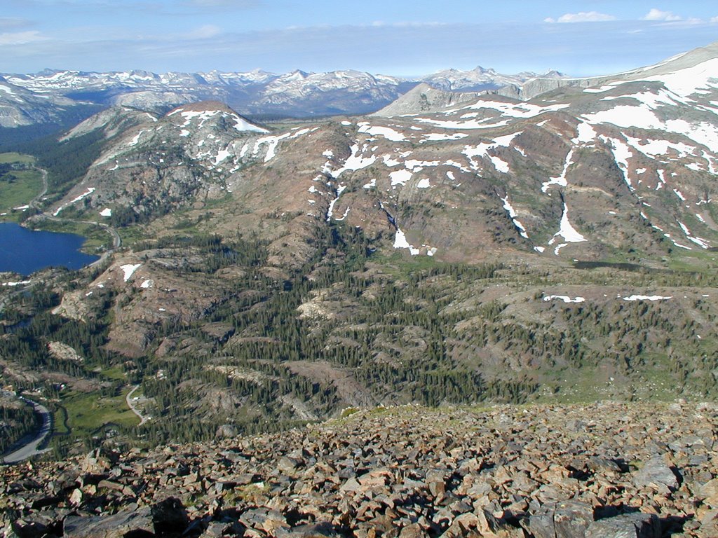
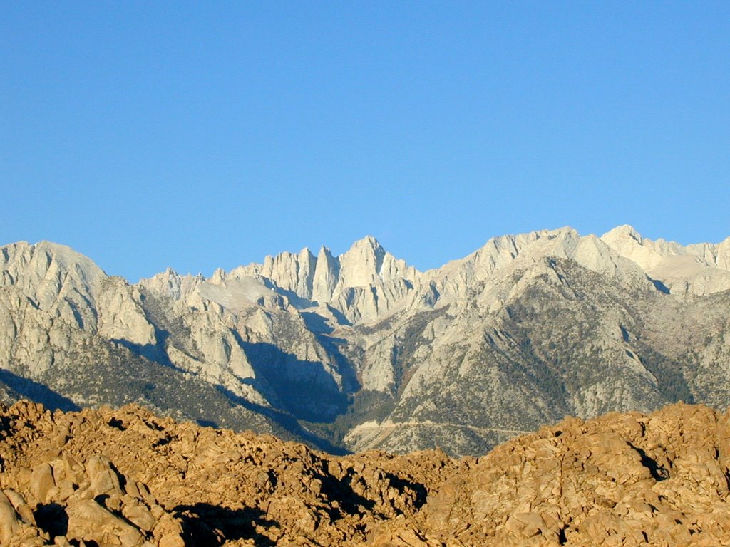
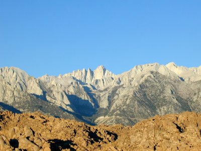
This was just after day break. I got there before the sun was even up. Mt. Whitney is directly in the center at the highest point.
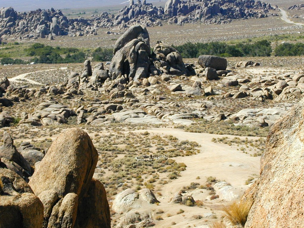
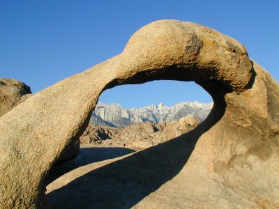
The following is a shot that is well known and seen many times in Alabama Hills. I shot a few at the arch, but I have read that you need to get there at the crack of dawn to get the best shots. You have less than a minute to get it at the right time. I was there about 30 minutes after the time, but I decided to get one of my own at this location. This is where the gps coords above are located at.
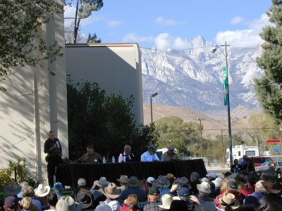
I went back into Lone Pine that morning and sat in at the panel that took place called "
Villians and Men of Action". Actors Jan Merlin, Ed Faulkner, stuntmen Loren James, and Diamond Farnsworth were there. It was good, but I had hoped to see B-movie bad-guy Henry Silva there, but found out he could not be there. Otherwise, I may not have gone to Whitney Portal because I would have tried to meet him if possible. Since he was not there I was able to go there right after the event. The panel is below, but what is interesting is Mt. Whitney started to get cloud cover as the day went on.
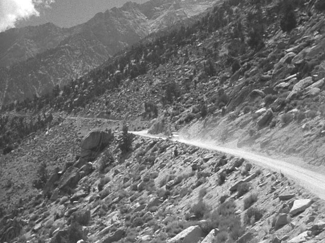
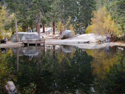
I purchased some souvenirs and then took off on Whitney Portal Road. It was a lot easier for me to drive up there than I had remembered. I parked and ate at the Whitney Portal Store. I did not think I would care for the hamburger I had when I saw it, but it was really good and I recommend it. I then took a few pictures around the pond they have there.
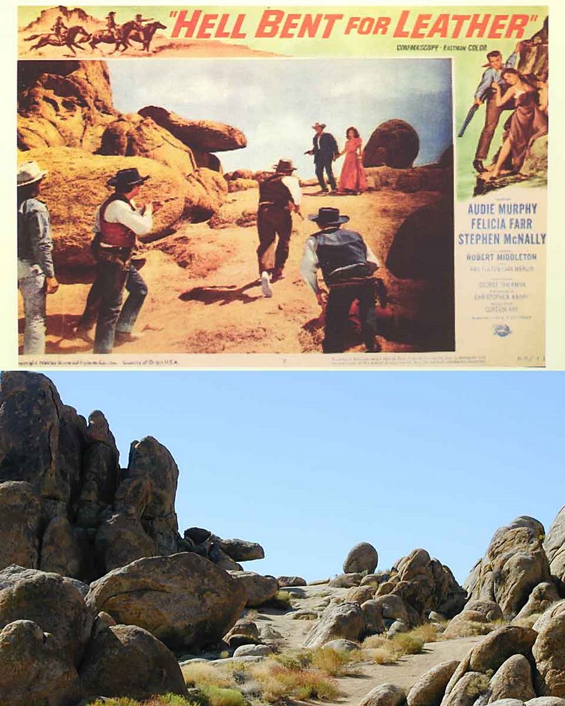
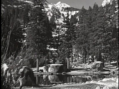
I do have some pictures from movies that are in this area to compare. The thing that is different than Alabama Hills is that it is a lot more difficult to pinpoint certain areas over the many decades that have passed. There is some evidence though. In this Hopalong Cassidy movie,
Three From Texas, these two rocks below look like the same ones from above. The trees next to the big rock might be the same, but it is a lot harder to tell since trees are not as "permanent" as rocks are. The angle might be a little off to in this picture. It does look like some many made things have changed the area a little too.
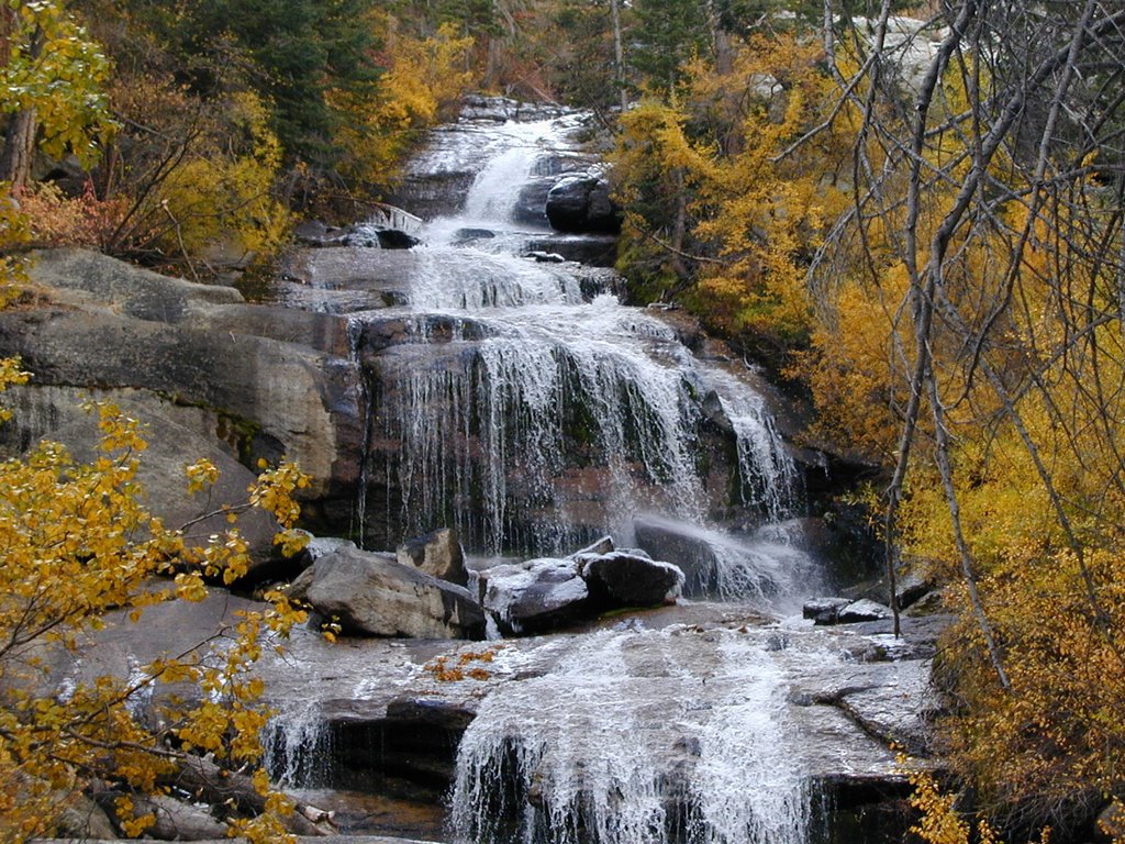
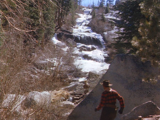
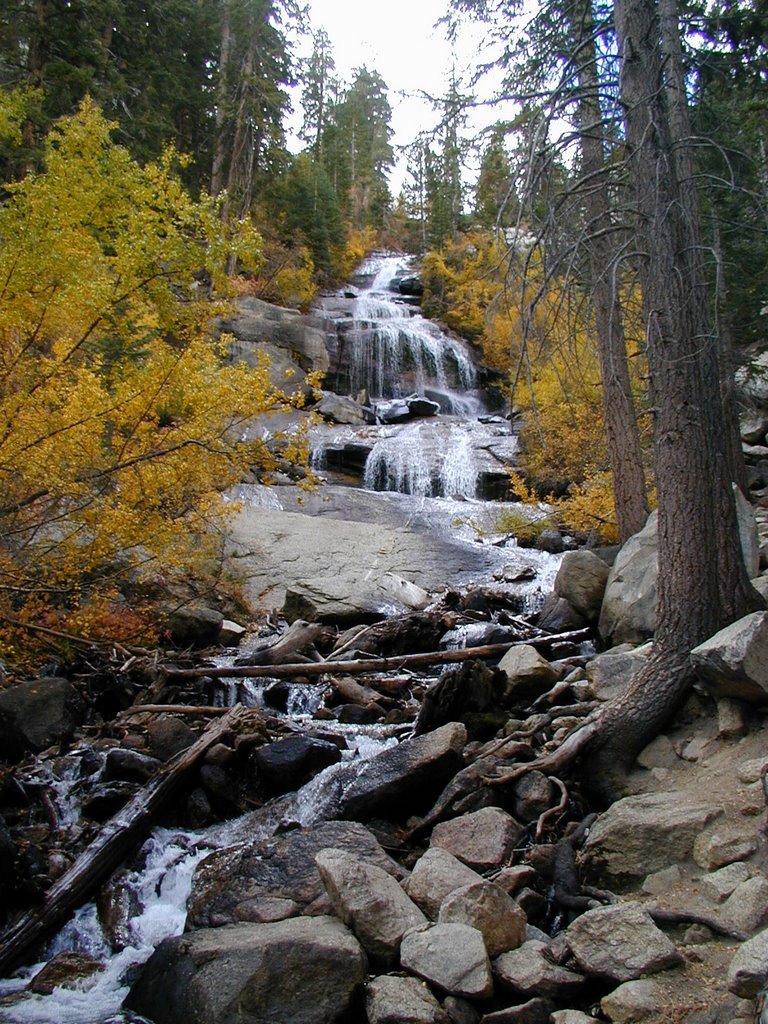
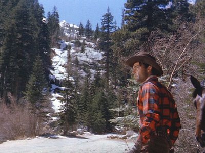
In the following picture taken from a Randolph Scott film,
Man in the Saddle, we see the bad guy at the portal heading towards the water fall. This is to the left of where I was standing in the above picture. There is a waterfall there with snow covering the side of the mountain.
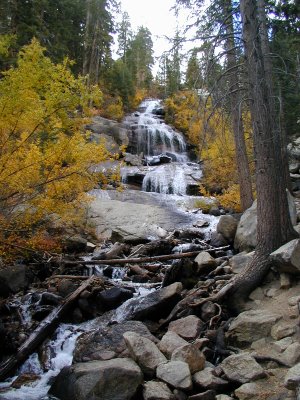
Here is a closer view of the waterfall area in that movie.

Like the previous pictures from movies, this is difficult to compare. My picture below does have some evidence that the water going over my rocks might be the same as the above.
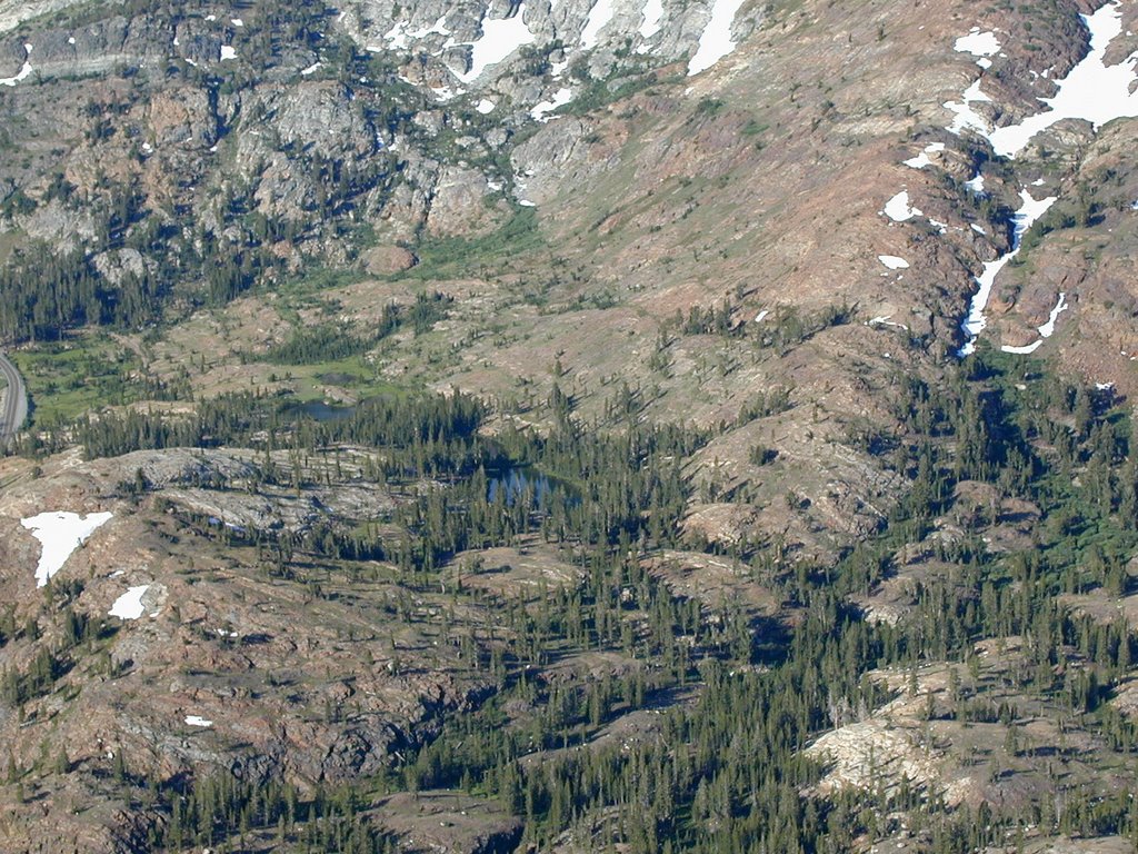
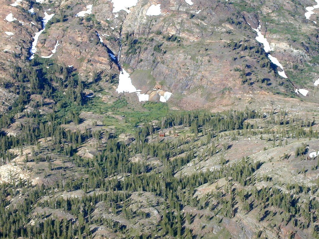
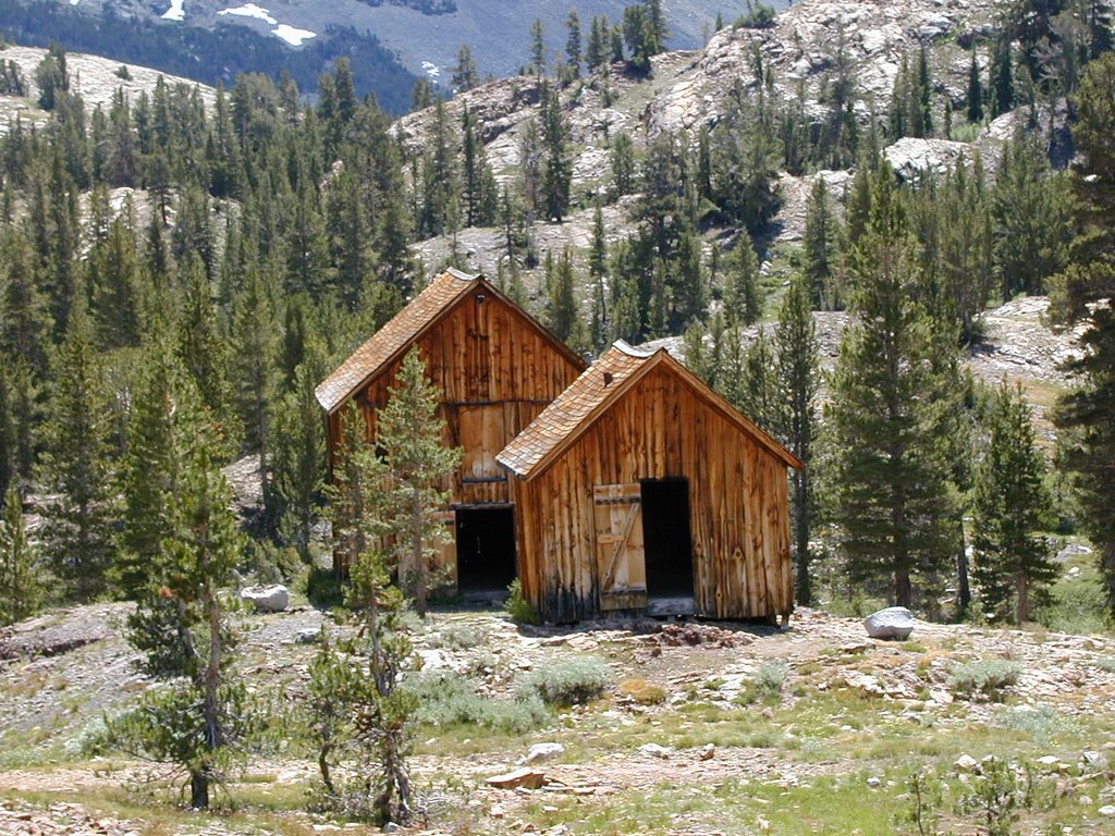
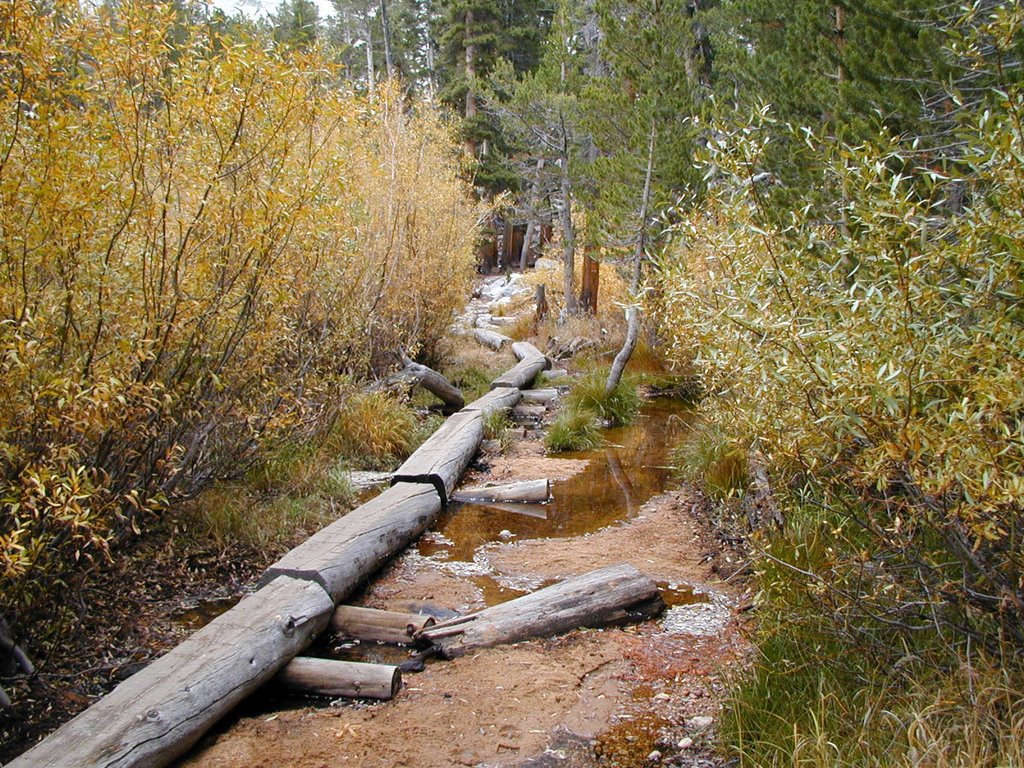
I will continue this next time as I actually climbed up part of the Whitney Trail.
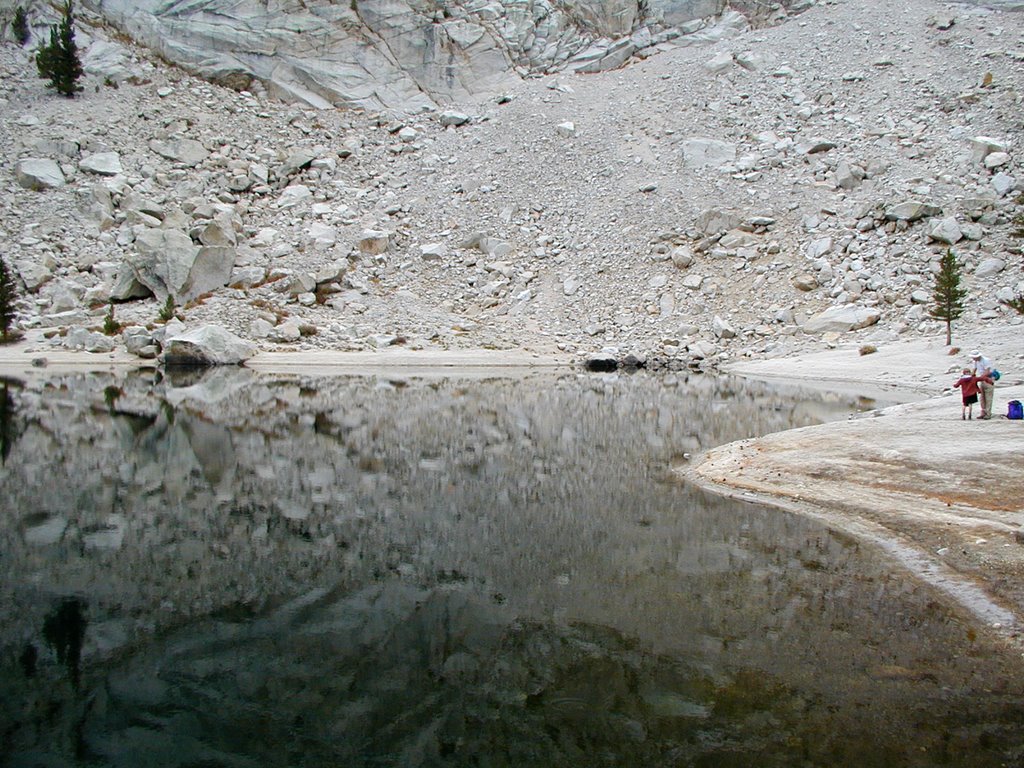
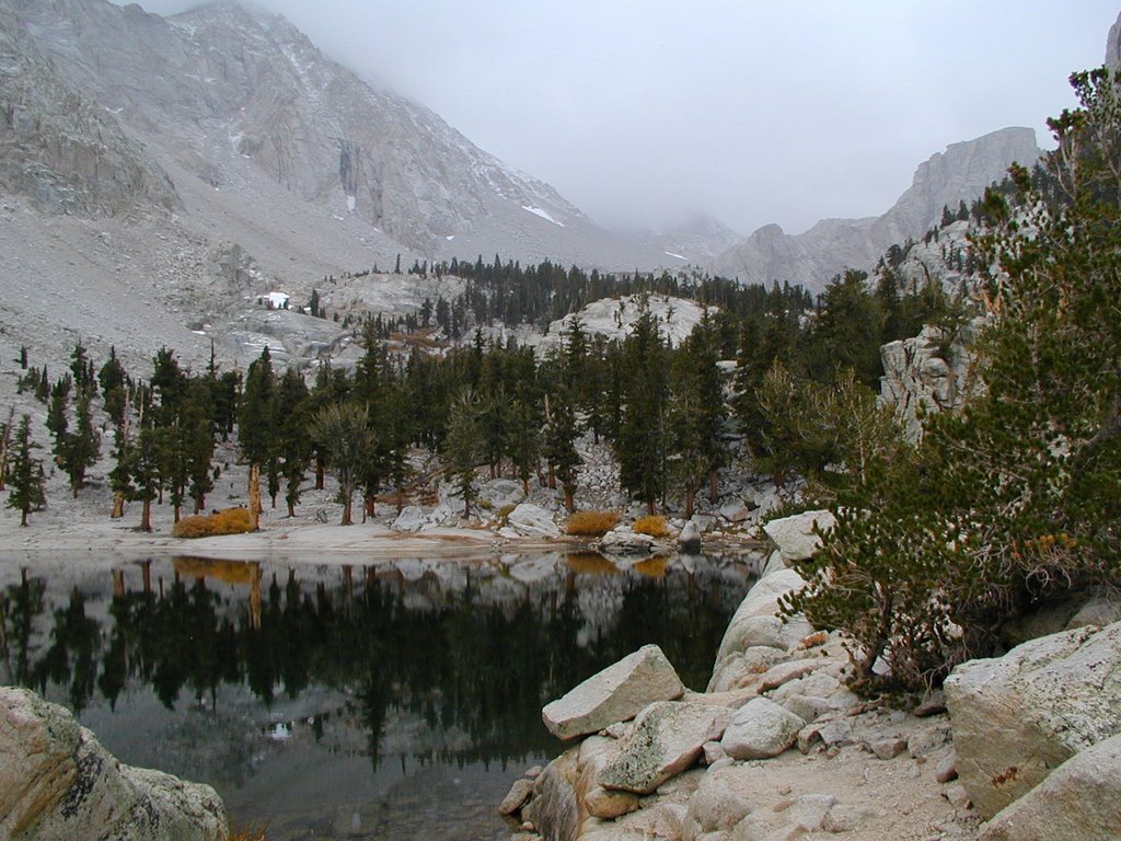
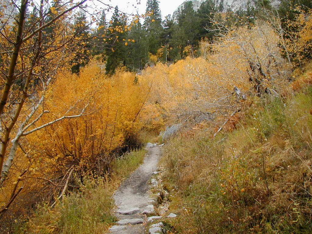
 Fantail Lake is a average sized lake for a back-country type of hike. It has a bunch of marshy areas and one area that looks like an island in the lake.
 Here is how it looks as we hiked to it:
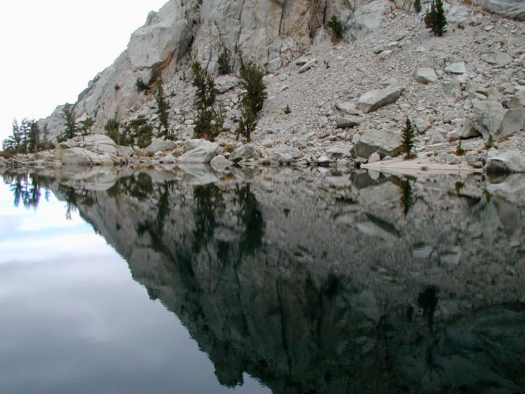
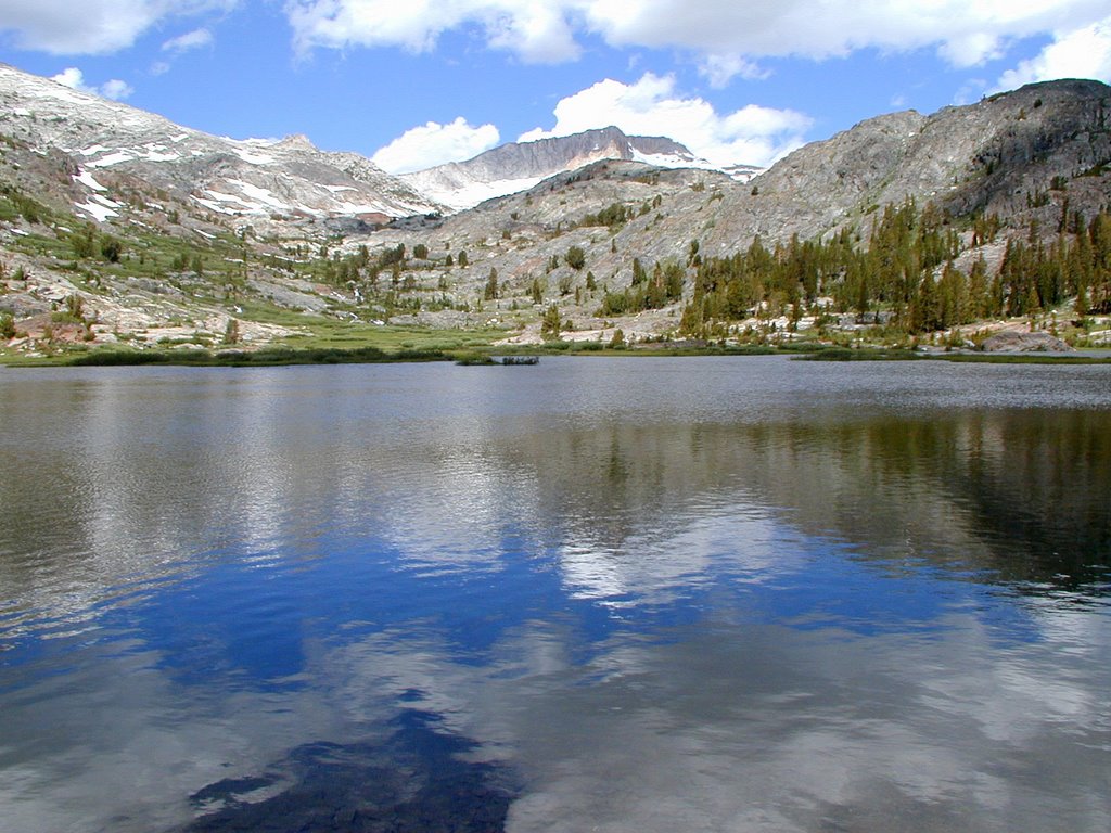 What is great about this area is you can see a TOWERING Mt. Dana in the background.