(GPS: N 36° 36.290 W 118° 12.960)
As I was driving back down Whitney Portal Road I stopped off at the area that some call Bogart Curve. The reason it is called that is it is the area that Humphey Bogart drives around in the movie High Sierra at the end avoiding the police behind him. However, keep in mind from what I have seen in the movie that it was highly unlikely Bogart was actually driving the car during this scene. It was probably a stunt double running up the mountain at the end of the movie. The scene that Bogart is shown on a mountain was probably taken near Mt. Wilson in Los Angeles. Okay, so with that out of the way let me just show you where the final climatic scenes of the movie take place.
This is Bogart Curve where he turns around this sharp corner:
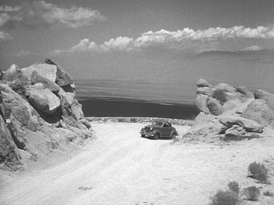 When I was there I was actually standing on the rocks at the right and shooting down on the corner just behind the car above.
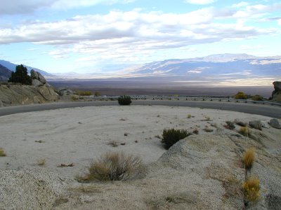 After that sharp corner the camera shows him going further up:
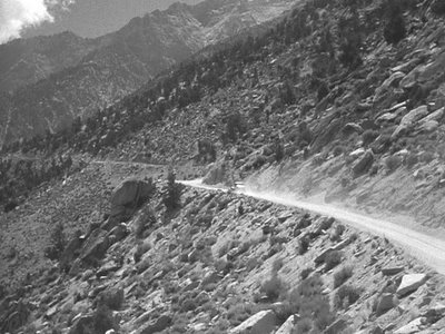 My picture is of the same area. In the movie it shows him go further up and then pans down as you can see the police coming from the road below to the corner.
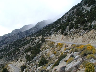 The clouds were all over the place and it was very grey that afternoon. Keep in mind it had snows at Whitney Portal while I was there ten minutes earlier. This is a shot of the town Independence in the distance.
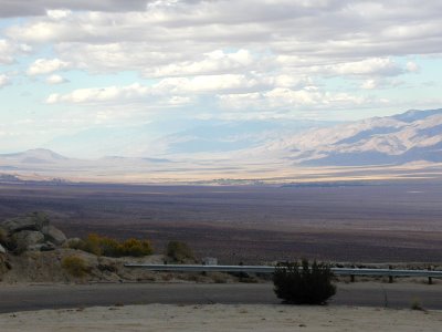 This is a shot looking down to the Alabama Hills and Lone Pine.
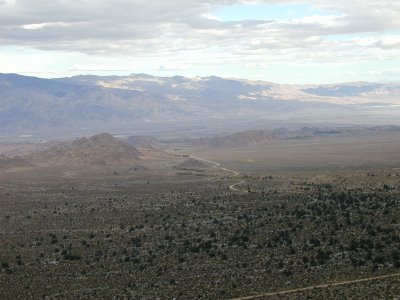 Anyways, this ends my little series on Mt. Whitney until I climb it next summer. I did not think I would drive up there, but for a few hours I was in heaven there! I had to miss out on a few things at the festival, but I needed to smell the pine tree air! I drove down shortly after this picture and then got a little lost on the private properties on the southern side of Alabama Hills. I eventually took a scary road out and headed home. I can't wait to go back to this area.