Wednesday, November 22, 2006

Bennettville (Part 2)

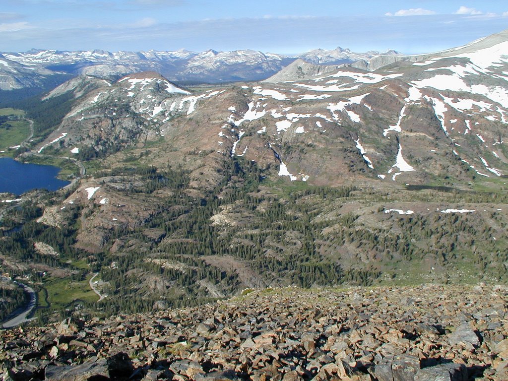
After reaching Bennettville in the summer of 2005 we decided to go a bit further north to Fantail Lake. Part of reason we did this was to help adjust to the elevation so we could climb Matterhorn Peak a few days later. It was just meant to be a mild hike, but it was a very scenic area. The following picture was taken from Tioga Peak looking down into Fantail Lake.
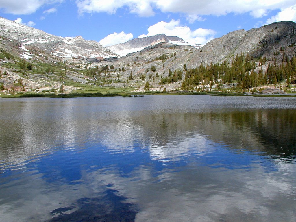
Fantail Lake is a average sized lake for a back-country type of hike. It has a bunch of marshy areas and one area that looks like an island in the lake.
Here is how it looks as we hiked to it:
What is great about this area is you can see a TOWERING Mt. Dana in the background.


Tuesday, November 21, 2006

Bennettville (Part 1)

(GPS: N 37 56.225 W 119 15.600)

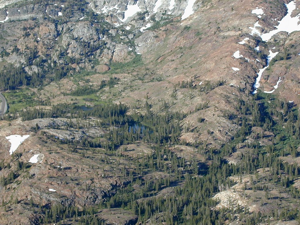
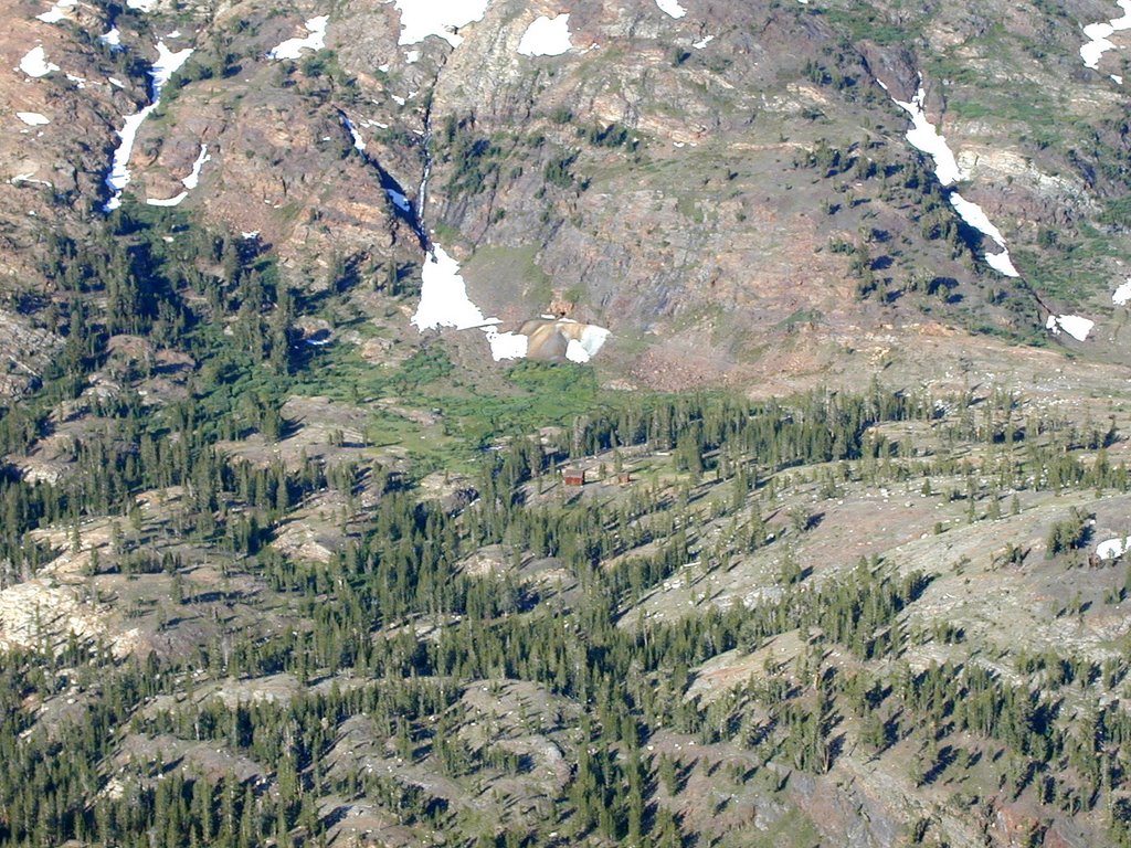
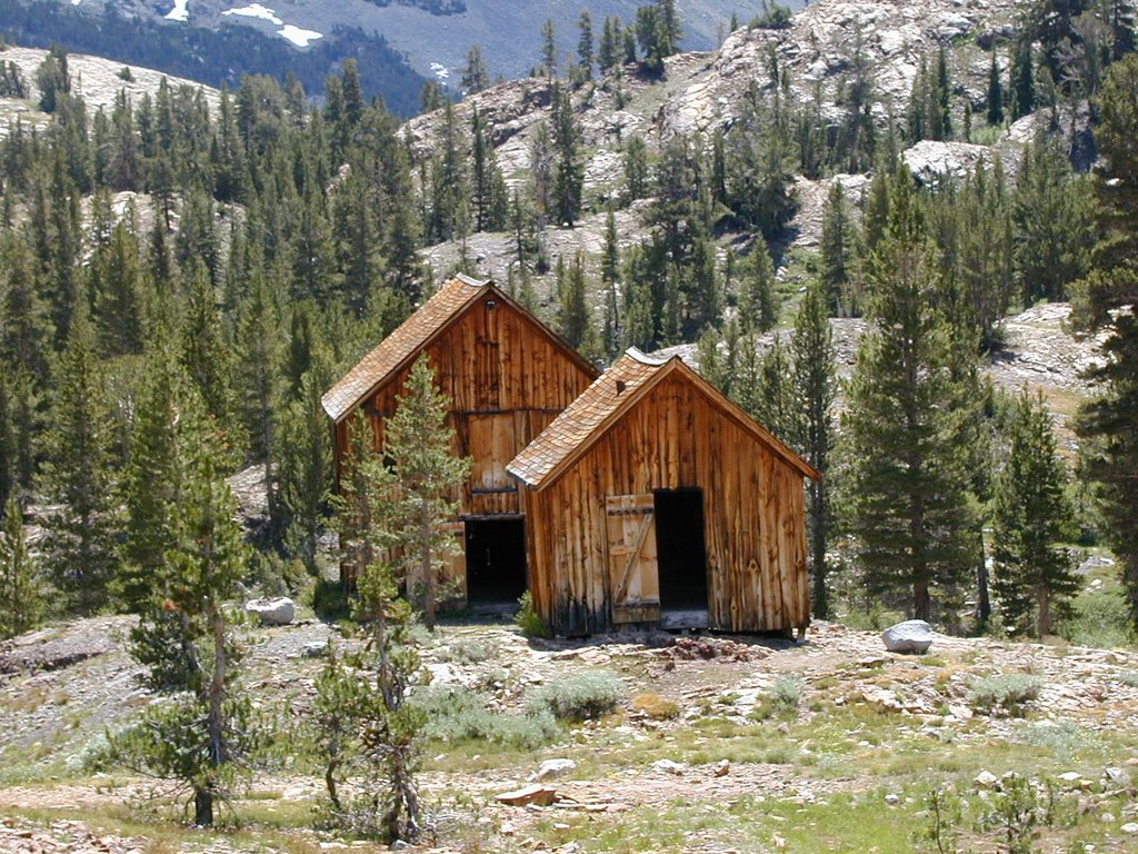
One of the interesting areas that I have been at twice is the "ghost town" of Bennettville near Tioga Lake. It was an unsuccessful mining area that had big ideas, but was more trouble than it was worth. It is an easy hike in and out. The first few pictures are from Tioga Peak looking down into it so you can see it from different elevations:
The picture above shows you where you start down below near Tioga Lake and continue to the right of the picture.
The lake you see below is really a small pond you pass on the way there. Then in the picture below you end up at Bennettville which only has two major structures left as you can see below if you look carefully:
Here is how it looks looking back up:
The mine.
The two major structures. These look like big barns when you enter them.
Here is the other side of one of them:
Next time I will show the scenery a little further beyond at Fantail Lake which was more interesting to me than this little ghost town.

Friday, November 10, 2006

Mt. Whitney Area ( Part 4): Bogart Curve

(GPS: N 36° 36.290 W 118° 12.960)

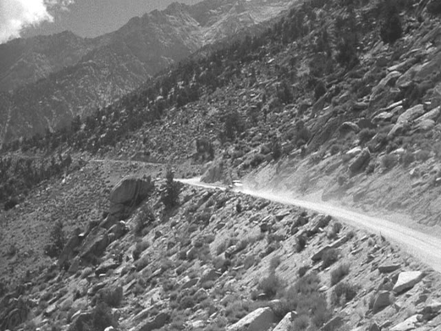
As I was driving back down Whitney Portal Road I stopped off at the area that some call Bogart Curve. The reason it is called that is it is the area that Humphey Bogart drives around in the movie High Sierra at the end avoiding the police behind him. However, keep in mind from what I have seen in the movie that it was highly unlikely Bogart was actually driving the car during this scene. It was probably a stunt double running up the mountain at the end of the movie. The scene that Bogart is shown on a mountain was probably taken near Mt. Wilson in Los Angeles. Okay, so with that out of the way let me just show you where the final climatic scenes of the movie take place.

This is Bogart Curve where he turns around this sharp corner:
When I was there I was actually standing on the rocks at the right and shooting down on the corner just behind the car above.
After that sharp corner the camera shows him going further up:
My picture is of the same area. In the movie it shows him go further up and then pans down as you can see the police coming from the road below to the corner.
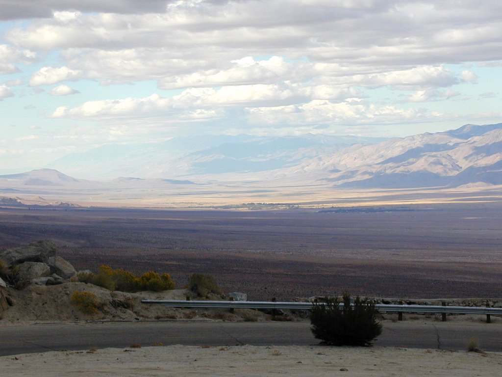
The clouds were all over the place and it was very grey that afternoon. Keep in mind it had snows at Whitney Portal while I was there ten minutes earlier. This is a shot of the town Independence in the distance.
This is a shot looking down to the Alabama Hills and Lone Pine.
Anyways, this ends my little series on Mt. Whitney until I climb it next summer. I did not think I would drive up there, but for a few hours I was in heaven there! I had to miss out on a few things at the festival, but I needed to smell the pine tree air! I drove down shortly after this picture and then got a little lost on the private properties on the southern side of Alabama Hills. I eventually took a scary road out and headed home. I can't wait to go back to this area.

Wednesday, November 08, 2006

Mt. Whitney Area (Part 3)

(GPS: N 36 34.497, W 118 15.032)
note: the above cords are for the Lone Pine Lake sign turnoff.

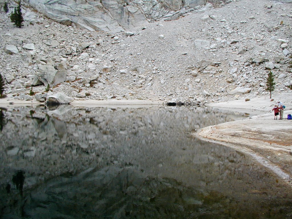
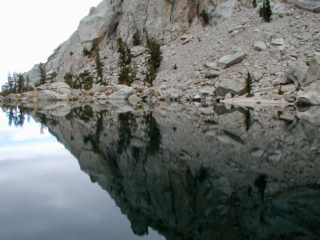
The lake was not that big, but the mountain walls reflections made the lake look very epic. The gray clouds in the area took the color out of many things, but the lake was dead quiet and still. The reflections were awesome:

More reflection as I continued around the lake.
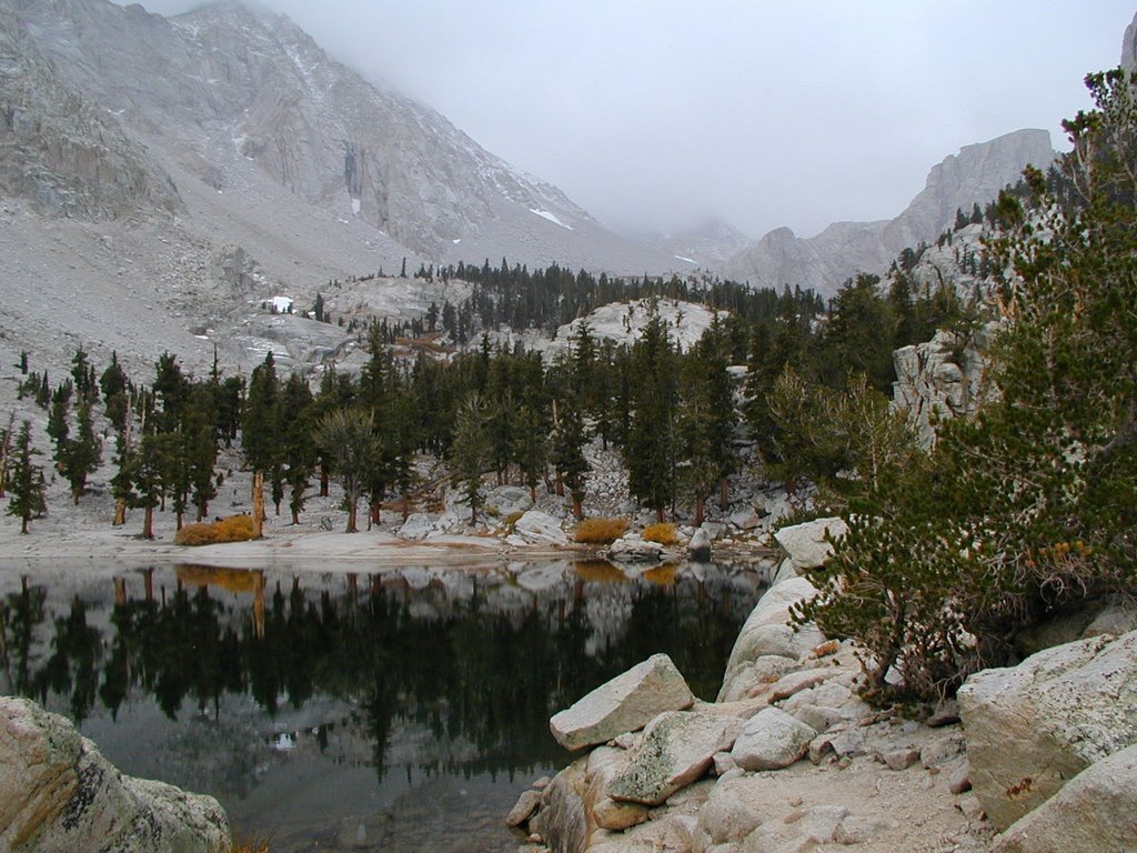
The following will give you an idea of what it was like looking further into the canyon. I passed a few hikers on the way up and I could tell they intended to go further up. I do not know how they all did, but it did snow at the lake while I was there. The snow did not seem that significant at the time. It was just little salt like specs coming down.
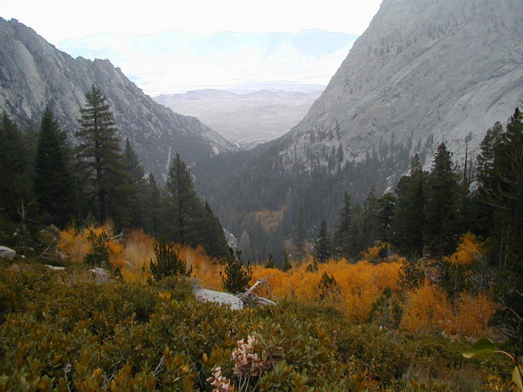
I spent around just under an hour at the lake taking pictures and drinking my water. I wanted to be back in Lone Pine at 4pm to watch a special independent movie so I started going down the trail. I took a shot looking down to show what the elevation was like. At this point the snow started coming down a little more and was collecting on the trail. I was trying to speed my way down the switchbacks. Some hikers held me up a bit since I could not pass them right away.
By the time I got back to the truck it was about 10 minutes to 4pm. I really did not want to high tail down the road to get to Lone Pine for the independent movie. I would have missed some of it anyways. So, I just took my time around the Portal and slowly left. I had one last area I wanted to investigate before I left, reached the 395 highway, and left for good. That will be my final entry on this area.

Tuesday, November 07, 2006

Mt. Whitney Area (Part 2)

(GPS: N 36 35.290 W118 14.425)
note: above coords are for Whitney Portal.
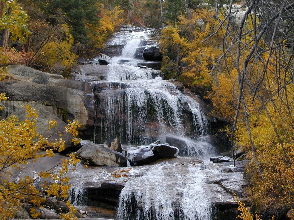
Here is another shot of the waterfall zoomed in. One thing to notice is there is a lot of orange in these shots, but the fall colors had not really hit the area at the beginning of October of this year. Only the areas that were closest to the streams had the orange color. The green pine trees still had the pine smell and it still looked like the way I imagine the summer in the Eastern Sierra. I decided to hike the trail. You do not have to have a permit to climb to Lone Pine Lake which is about ¼ of the way up to the top of Whitney. I started around 1pm and just walked at a good pace. Although I had not hiked any serious elevations in about 2 months I did okay on this one. I had two bottles of water and a camera in my backpack.
This picture above does a good job of showing what I was explaining about the fall colors. They were there, but as you can see it was still rather green. My legs were feeling the burn, but I was just taking in the air and loving every minute of it. For a few hours I felt like I was at home again in this heavenly area. I had thought my last Sierra hike ended 2 months earlier and it would be a whole year before I felt it again.

More orange. This is about the best it got on the trail for that orange color. One thing I should point out is that the skies had started to turn really gray while I was doing this hike. It never affected me in anyway since my goal was just to get to Lone Pine Lake, but it did feel like it might start raining at any time. You could not see that far into the canyon.
This mini-bridge you see here is right before the lake. It only took me about one hour and ten minutes to get to the lake.
Here is the turnoff of the main trail and I went left here down a few hundred feet to the lake. I believed that the sign was the point I had to turn back without a permit, but I could have continued walking a bit further as the permit sign is a few more minutes hike into an interesting area.

There was the lake below me:

Monday, November 06, 2006

Mt. Whitney Area (Part 1)

(GPS: N36 36.820 W118 07.550)

This was a spur of the moment decision when I was at Lone Pine. I could have sat in Lone Pine watching great movies my last afternoon there, but I can do that anytime at home. It is hard for me to sit still when that great scenery is out there to be seen and hiked to. I decided that I would go to the portal and check things out. I have plans with someone to get to the top of Mt. Whitney next summer. I decided to reacquaint myself with the area. I will start with the morning.
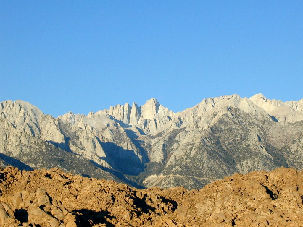
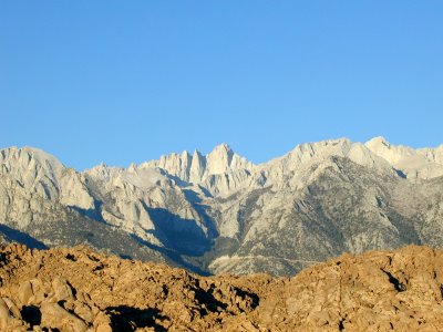
This was just after day break. I got there before the sun was even up. Mt. Whitney is directly in the center at the highest point.
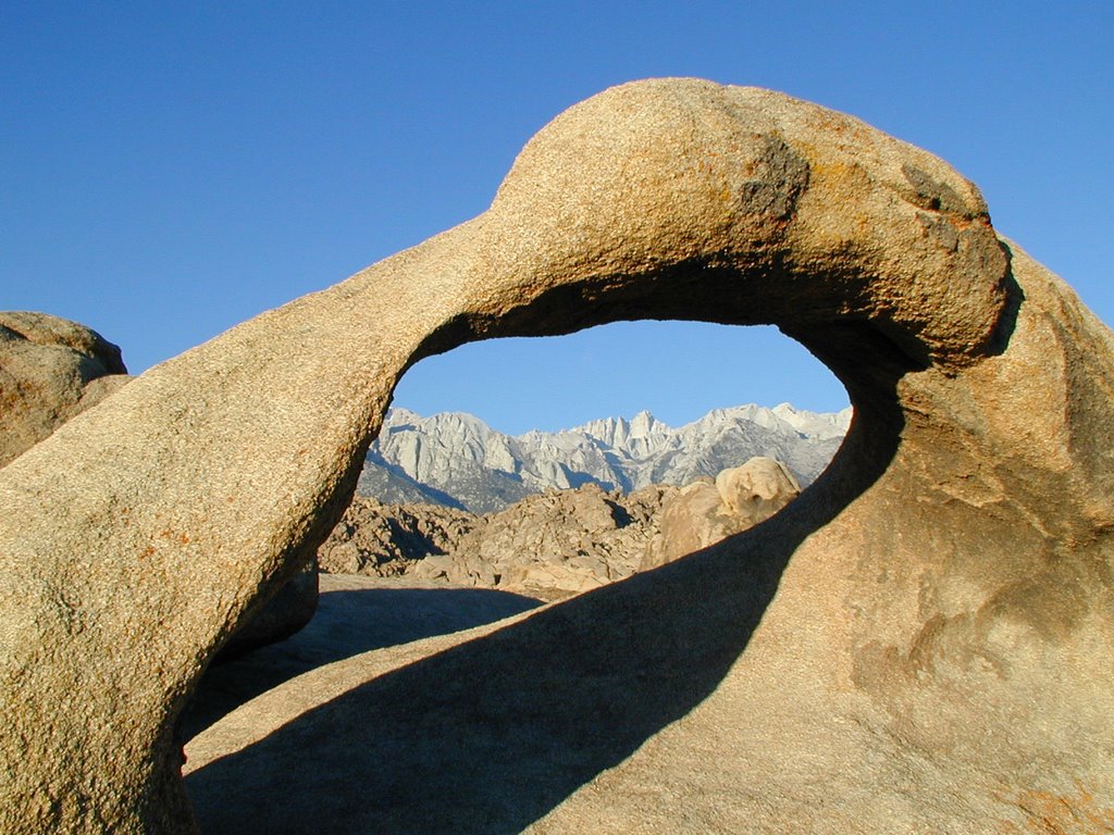
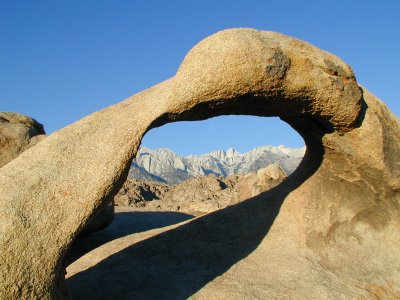
The following is a shot that is well known and seen many times in Alabama Hills. I shot a few at the arch, but I have read that you need to get there at the crack of dawn to get the best shots. You have less than a minute to get it at the right time. I was there about 30 minutes after the time, but I decided to get one of my own at this location. This is where the gps coords above are located at.
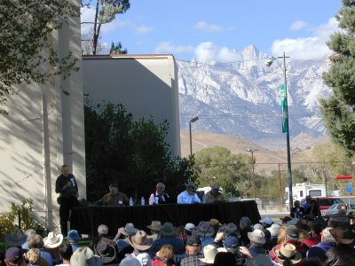
I went back into Lone Pine that morning and sat in at the panel that took place called "Villians and Men of Action". Actors Jan Merlin, Ed Faulkner, stuntmen Loren James, and Diamond Farnsworth were there. It was good, but I had hoped to see B-movie bad-guy Henry Silva there, but found out he could not be there. Otherwise, I may not have gone to Whitney Portal because I would have tried to meet him if possible. Since he was not there I was able to go there right after the event. The panel is below, but what is interesting is Mt. Whitney started to get cloud cover as the day went on.
I purchased some souvenirs and then took off on Whitney Portal Road. It was a lot easier for me to drive up there than I had remembered. I parked and ate at the Whitney Portal Store. I did not think I would care for the hamburger I had when I saw it, but it was really good and I recommend it. I then took a few pictures around the pond they have there.
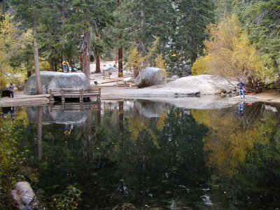
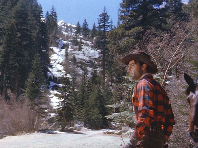
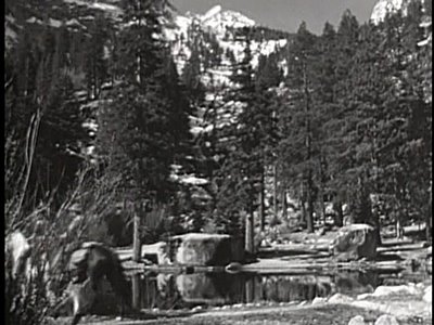
I do have some pictures from movies that are in this area to compare. The thing that is different than Alabama Hills is that it is a lot more difficult to pinpoint certain areas over the many decades that have passed. There is some evidence though. In this Hopalong Cassidy movie, Three From Texas, these two rocks below look like the same ones from above. The trees next to the big rock might be the same, but it is a lot harder to tell since trees are not as "permanent" as rocks are. The angle might be a little off to in this picture. It does look like some many made things have changed the area a little too.
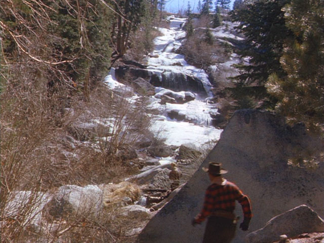
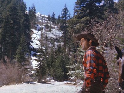
In the following picture taken from a Randolph Scott film, Man in the Saddle, we see the bad guy at the portal heading towards the water fall. This is to the left of where I was standing in the above picture. There is a waterfall there with snow covering the side of the mountain.
Here is a closer view of the waterfall area in that movie.
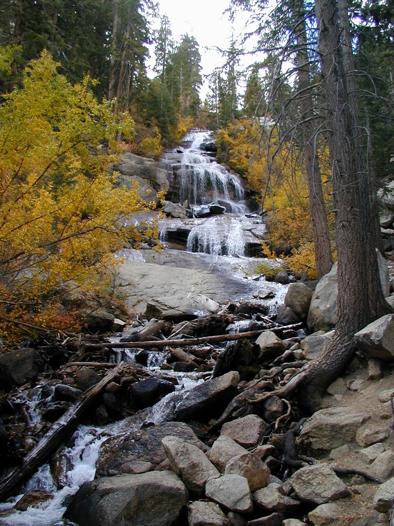
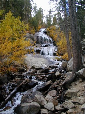
Like the previous pictures from movies, this is difficult to compare. My picture below does have some evidence that the water going over my rocks might be the same as the above.
I will continue this next time as I actually climbed up part of the Whitney Trail.

Friday, November 03, 2006

Gary Gooper Rock (The Alabama HIlls Series)

(GPS: N36 36.198 W118 06.855)

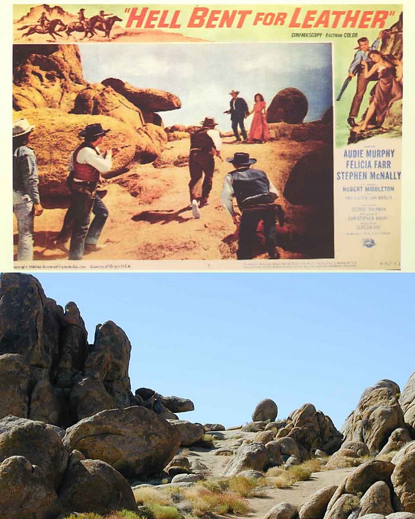
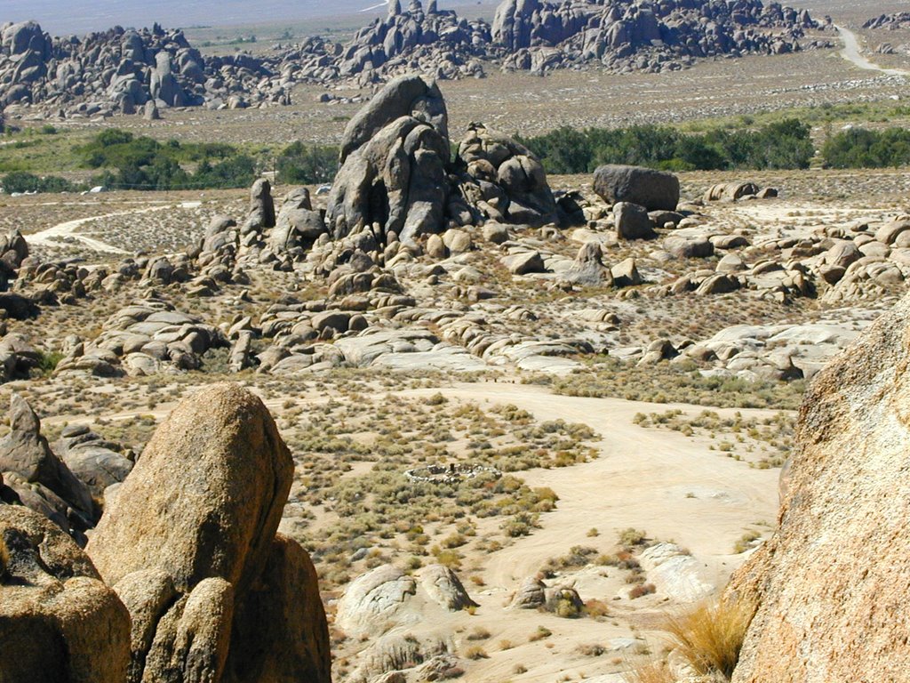
This area below is known as Gary Cooper Rock. The reason for that is in one of his movies he had a publicity photo where he is standing underneath the unique horizontal rock. However, I think the movie Hell Bent for Leather uses it a lot better. In the final climatic scene of the movie it takes place at this spot as can be seen below. You actually have to climb up to get to it. It is an easy walk, but once you get to the top rocks above there is a cliff so there really is nowhere to run as you can fall. Here is what you can see looking down from the above cliff. The area you see looking below is where the movie Yellow Sky took place. If you look very close you can see the arrastra in the lower middle in that picture. When I continue this series I will show some of the areas from the movie Yellow Sky (found here).

Tuesday, October 31, 2006

“The Bridge to Nowhere” Hike Part 3 (The Halloween Series)

(GPS: N34 16.990 W117 44.810)

Okay, the above gps cords are for where we ended up at the bridge.

There was not much room around here, but I was safe. Again this is looking down from the “Nowhere” side.
Both of these are looking more from the northern side.
Looking at the “Nowhere” side.
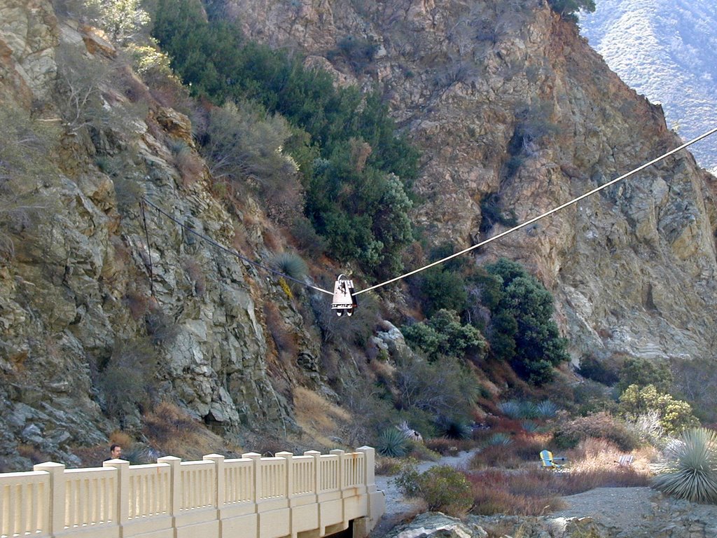
This is the mysterious cable car thing overhead that goes over the bridge.
Looking down into the pool.
Looking back to the bridge from the southern side of "nowhere".
The following is just past the bridge into the “Nowhere” side. I followed the trail up a few hundred feet. It came to a point that was steep, but slippery. So, I could have forced the issue to continue, but I had all my camera gear out and did not want to risk things coming down. So, this is really as far as I got. Basically, you can go up further up the canyon to the left. Some backpackers continued on this way.
This is another angle looking down from the bridge. I took this as we were leaving.
Early on I was sort of complaining about the pack of hikers that were slower. Well, they really weren’t a problem. They just were bungee jumpers who were not your typical hikers so they were rather slow at times. They started before us and we passed them. At one point we went up a little too high and had to back track. They were there so we had to pass them again. We saw some while we were heading back as they continued to reach the bridge.

People actually come to the bridge to bungee jump. We wanted to see them do it, but we had already been there almost an hour, and they were still slow setting up. One thing that I encountered here on the way back was people constantly asking me how many miles it would take to get to the end. You could tell many people do not get out walking or hike much. I have never encountered this on any of my other hikes. In fact, some big guys at the trail-head were trying to convince my brother that it was, “a lot harder and further than you thought it was, right?”
He said he was just being agreeable to be polite, but I would have to agree that this hike was really not that hard. We were in an out in about 4 hours. We could have done it quicker too. The only problems are you have to cross water a lot, walk on stones and sand. It is nothing compared to everything else I have written about.

Just as a follow up to my first entry. Here is the video that “Cassie” used to show her dead drop at the Bridge. It looks like it was just across the bridge in a bunch of rocks. In fact, I was standing right near where he shot the last part of this video.

http://www.youtube.com/watch?v=zaa5wqXszZM

Had there not been as many people on this hike I think the creepiness factor would have been "higher" walking around in this area. People were out fishing and prospecting(!) along the river. Funny, we never saw any fish. Still a well made bridge out in the middle of nowhere is just strange! Well, this ends my Halloween series. Happy Halloween!

“The Bridge to Nowhere” Hike Part 2 (The Halloween Series)

(GPS: N34 16.260 W117 44.815)

As you can see we continued to cross the river at different points:
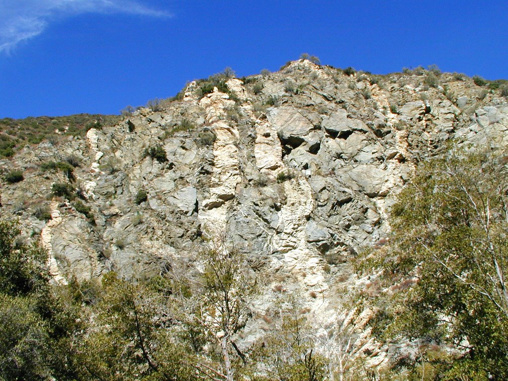
We never did see the Swan Canyon part because I forgot to look, but along the walls you can notice different types of veins in the rock. There is a part somewhere along this hike where you can see something that looks like a Swan with the different type of rocks. Here is the best I can do to show the type of rock.
At this point is near where the gps cords are at this riverbed area. We are later in the year so the water is down quite a ways. If you look to the right you see the final ascent on a trail over the canyon.

We ran across a PACK of hikers along the way and I was glad to see some uphill at this point. I knew we would lose them in the uphill since we do that all the time. I’ll explain more about these hikers later. We were still pretty fast, but there were certain areas that we had to slow down because of their slow crossings. It was not that big a deal, but we like to go as fast as possible on these hikes.
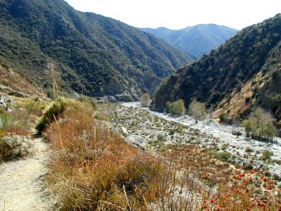
This is looking back down the canyon from where we came:
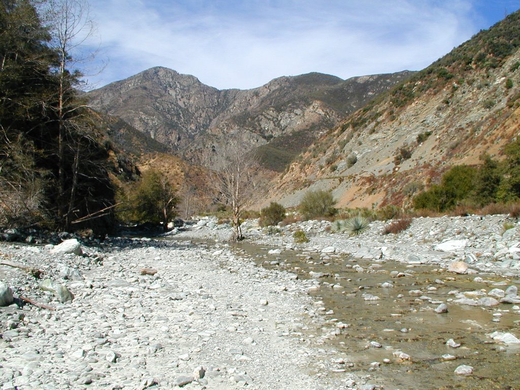
Okay, we finally made it in about 2 hours which is pretty good time. Normally it is supposed to take somewhere from 3 ½ to 4 hours to get there, but I suspect the people that do that are trying to avoid getting wet and are not people that hike high elevations very much. The difference in this hike is it is just crossing the river about 10 times and walking on sand and rocks for about 5 miles. Here is what we came to see after we crossed it to the “Nowhere” side:
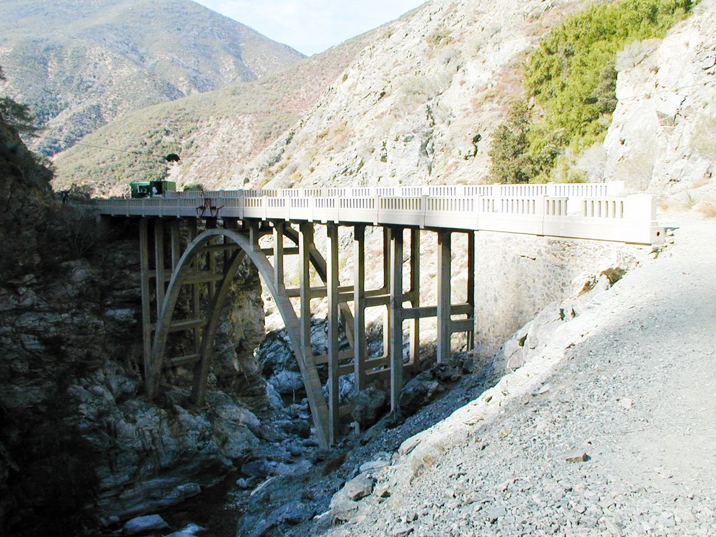
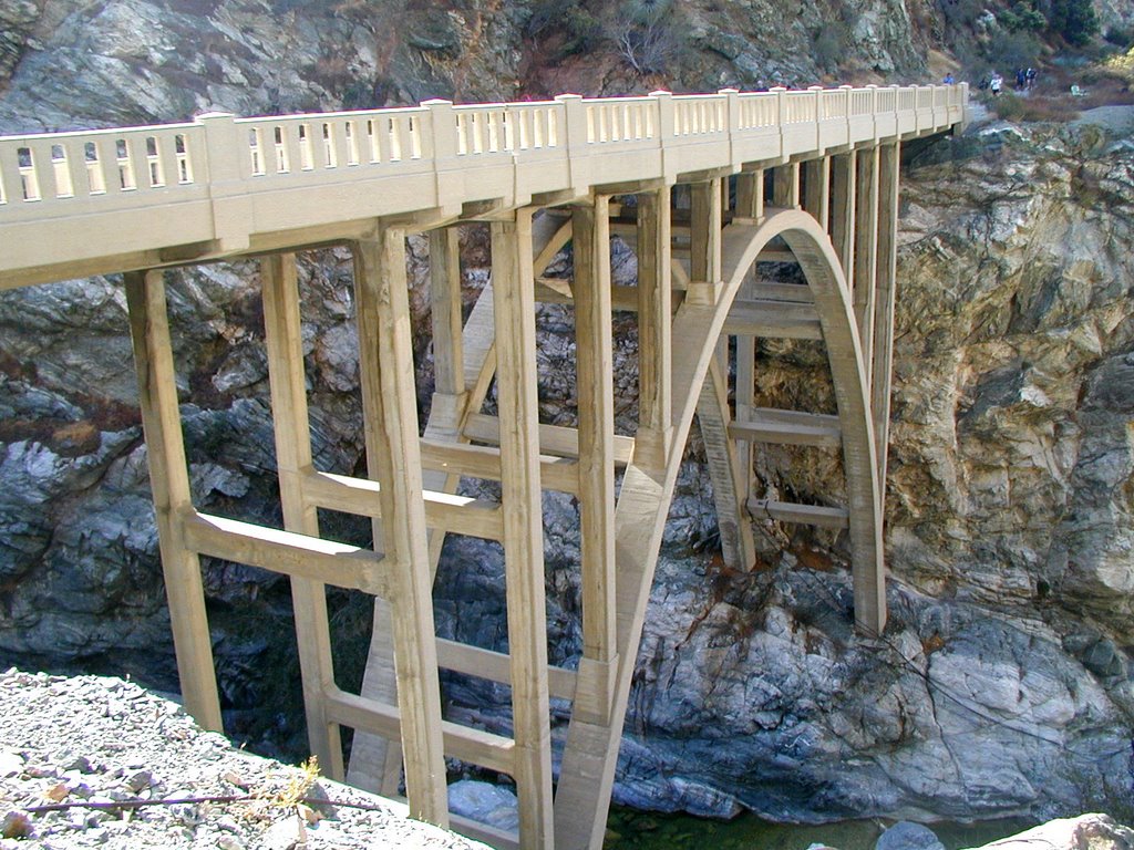
This is the Bridge to Nowhere. It was made in 1936. This whole drainage trail we hiked was supposed to be a road that was intended for another way out of Los Angeles into the Palmdale area. The problem was that in 1938 a massive rainstorm hit with 12 inches in less than a day. All the rain buildup led to a major flood in the canyon knocking at all the construction work and road in the canyon. However, the height of this bridge was just enough to avoid being destroyed.

This is still on the “Nowhere” side looking back. This bridge is really out of place here. It is not used for anything because the road was wiped out. Hikers do use the road and the trail does continue on, but to where I am not sure since I did not bother going more than few hundred feet further.
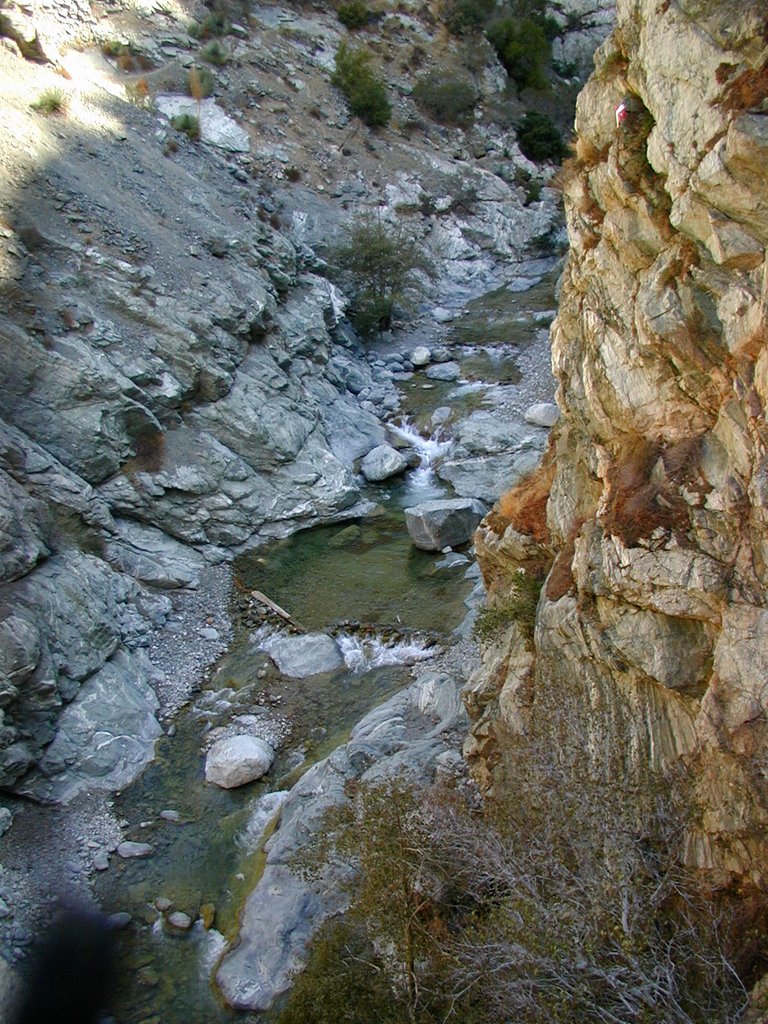
This is looking down.