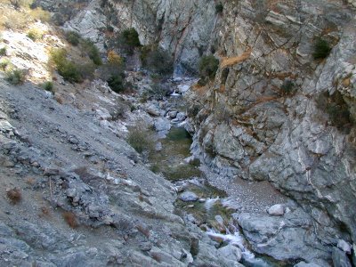
(GPS: N34 16.260 W117 44.815)
As you can see we continued to cross the river at different points:
 We never did see the Swan Canyon part because I forgot to look, but along the walls you can notice different types of veins in the rock. There is a part somewhere along this hike where you can see something that looks like a Swan with the different type of rocks. Here is the best I can do to show the type of rock.
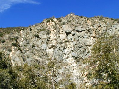 At this point is near where the gps cords are at this riverbed area. We are later in the year so the water is down quite a ways. If you look to the right you see the final ascent on a trail over the canyon.
We ran across a PACK of hikers along the way and I was glad to see some uphill at this point. I knew we would lose them in the uphill since we do that all the time. I’ll explain more about these hikers later. We were still pretty fast, but there were certain areas that we had to slow down because of their slow crossings. It was not that big a deal, but we like to go as fast as possible on these hikes.
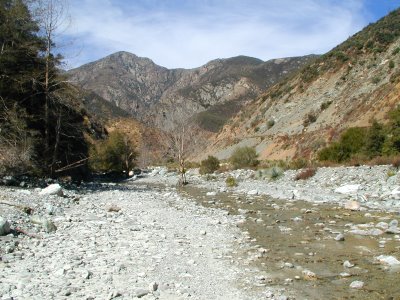 This is looking back down the canyon from where we came:
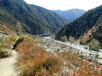 Okay, we finally made it in about 2 hours which is pretty good time. Normally it is supposed to take somewhere from 3 ½ to 4 hours to get there, but I suspect the people that do that are trying to avoid getting wet and are not people that hike high elevations very much. The difference in this hike is it is just crossing the river about 10 times and walking on sand and rocks for about 5 miles. Here is what we came to see after we crossed it to the “Nowhere” side:
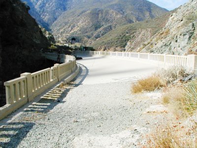
 This is the Bridge to Nowhere. It was made in 1936. This whole drainage trail we hiked was supposed to be a road that was intended for another way out of Los Angeles into the Palmdale area. The problem was that in 1938 a massive rainstorm hit with 12 inches in less than a day. All the rain buildup led to a major flood in the canyon knocking at all the construction work and road in the canyon. However, the height of this bridge was just enough to avoid being destroyed.
This is still on the “Nowhere” side looking back. This bridge is really out of place here. It is not used for anything because the road was wiped out. Hikers do use the road and the trail does continue on, but to where I am not sure since I did not bother going more than few hundred feet further.
 This is looking down.