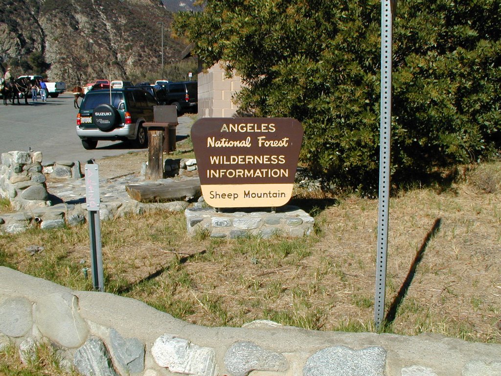
(GPS: N 34 14.210 W 117 45.920)
This is a hike I have wanted to do for a long time. It sounds spooky and some unusual things have happened here. This hike is great, but notorious for a few reasons which will come out in the next few entries. What better time of the year than to do this in October. Note: the gps cords above are just for the trail-head; the next two in each entry are further on into the hike until the end.
 This side story is a little too complicated to go into here, but over the summer there was something that came out called “Lonelygirl15”. It is still going on about a girl who posts video’s of herself on youtube. It came out it was a fictional story, but one of the videos were filmed down below this picture in the pools.
 The video they used of that area:
http://www.youtube.com/watch?v=5Q_y0HdJ4x8
Interesting enough, a side story of Lonelygirl15 called “Cassieiswatching” also filmed a scene in her video near where we went. Items were left in sort of a geocache/dead drop scavenger hunt. A little more on the creepy side of things…
http://www.youtube.com/watch?v=_IcYUifgEfw
From what I could tell I could have found the items rather easily, but I don’t just drop everything and drive out to places to get things like that.
Funny thing is people around the world were really creeped out over all of this because of the “Cassie” videos and the names of the locations like Caves to Nowhere, Tunnel to Nowhere, and Bridge to Nowhere. However, for those who live in Southern California there is nothing to be scared about other than an abundance of rattlesnakes. These areas are not creepy in the way people were thinking since these are rather well traveled areas.
This is only within the first five minutes of the hike. You can see what used to be a bridge that crossed the river here. Notice the connector on the other side. This area marks the first river crossing one must do on this trail.
 There are actually many river crossings one must do and as you do them you see many pools of water that look nice for swimming or wading.
 Here is another example of the water. Sometimes you encounter water that is a lot faster and deeper. Although we tried to avoid the water it got to the point we did not care too much and would just wade through. I do not think it ever got higher than three feet at areas we crossed. At some points it was higher, but we avoided those.
 As we went further back and forth across the river we found another old bridge that had been wiped out:
 At some points we were able to avoid water for while. We just followed the canyon
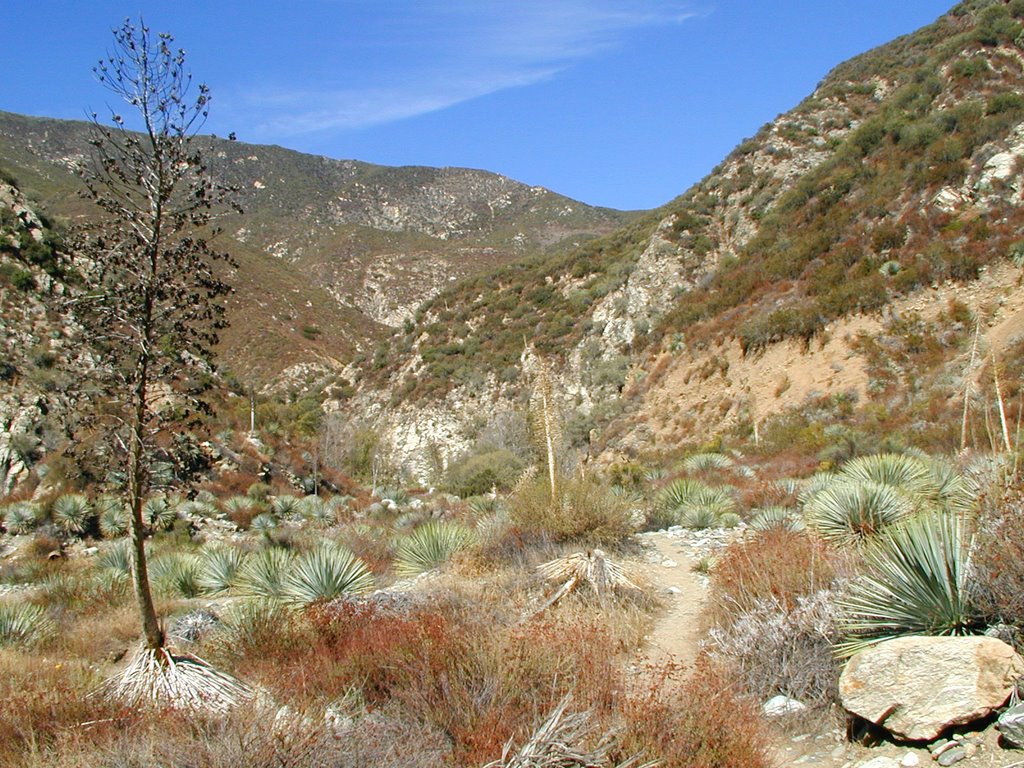 But, in some areas we had to straddle the walls over the water like this.
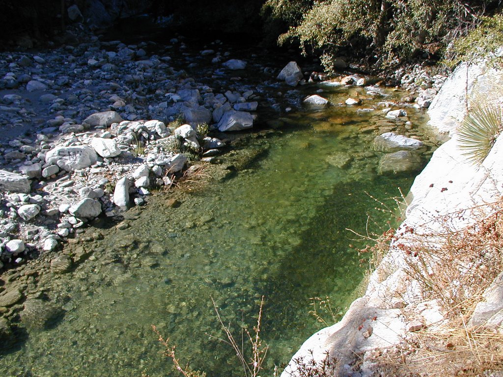 More to come in my next entry of this interesting, but kind of spooky hike tomorrow.